Download
3D Flyover
Add to list
More
9.1 km
~2 hrs 39 min
496 m
Out and Back
“The Toll Creek Upper trail in Summit County, Utah offers stunning views, historical artifacts, and a moderate challenge.”
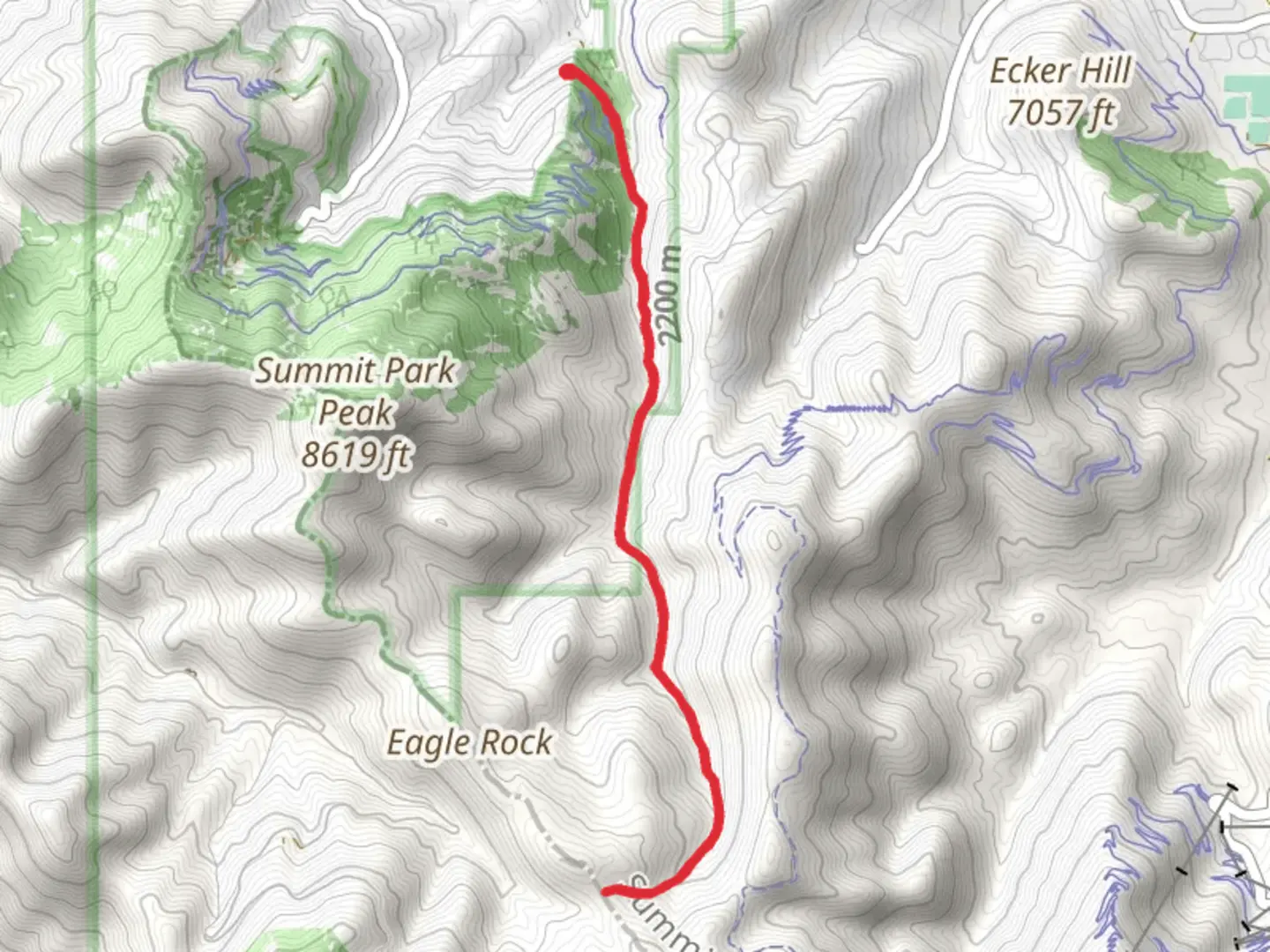
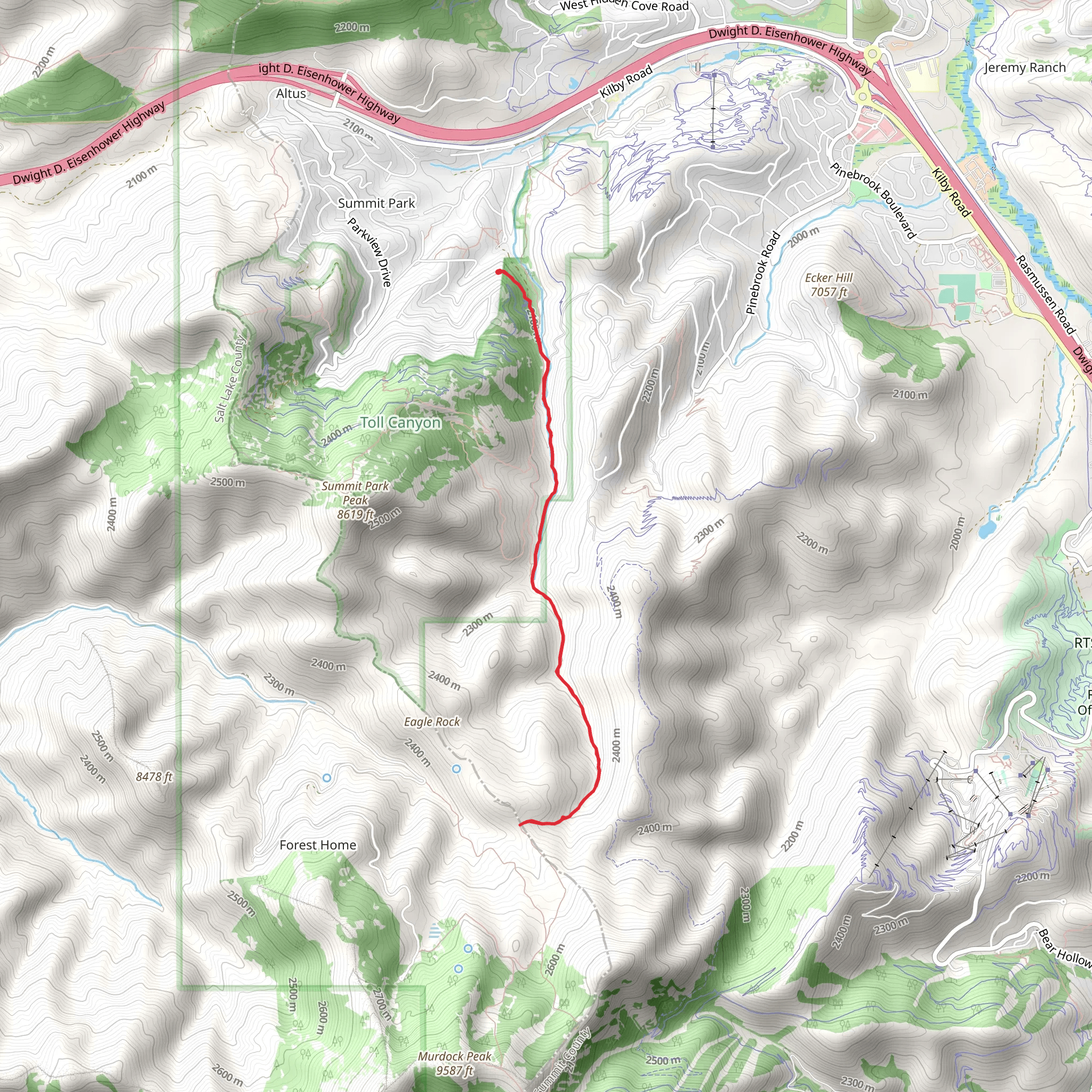
Starting near Summit County, Utah, the Toll Creek Upper trail is an invigorating out-and-back hike that spans approximately 9 kilometers (around 5.6 miles) with an elevation gain of about 400 meters (1,312 feet). This medium-difficulty trail offers a blend of natural beauty, historical significance, and a moderate challenge suitable for most hikers.
Getting There
To reach the trailhead, you can drive or use public transportation. If driving, head towards Summit County, Utah, and look for parking near the nearest known address or landmark, which is the Summit County Library. For those using public transport, the nearest bus stop is at the Summit County Library, from where you can walk to the trailhead.
Trail Overview
The trail begins with a gentle ascent through a mixed forest of aspen and pine, providing ample shade and a cool environment, especially during the summer months. The initial 1.5 kilometers (0.9 miles) are relatively easy, with a gradual elevation gain of about 100 meters (328 feet). This section is perfect for warming up and getting accustomed to the terrain.
Mid-Trail Highlights
As you progress, the trail becomes steeper, gaining another 200 meters (656 feet) over the next 3 kilometers (1.86 miles). This section is more challenging but rewards hikers with stunning views of the surrounding valleys and distant mountain ranges. Keep an eye out for wildlife such as deer, elk, and various bird species that inhabit the area.
Historical Significance
Around the 4-kilometer (2.5-mile) mark, you'll come across remnants of old mining operations, a testament to the region's rich history during the late 19th and early 20th centuries. These historical artifacts offer a glimpse into the past and provide a unique backdrop for your hike.
Final Stretch
The final 1.5 kilometers (0.9 miles) to the turnaround point involve a series of switchbacks that lead you to the highest elevation of the trail. Here, you'll gain the remaining 100 meters (328 feet) in elevation. The effort is well worth it, as the summit offers panoramic views that are perfect for photography or simply soaking in the natural beauty.
Navigation and Safety
For navigation, it's highly recommended to use the HiiKER app, which provides detailed maps and real-time updates. The trail is well-marked, but having a reliable navigation tool ensures you stay on track and can handle any unexpected detours.
Flora and Fauna
Throughout the hike, you'll encounter a diverse range of flora, including wildflowers in the spring and summer months. The trail's varied ecosystem supports a wide array of wildlife, so be sure to carry binoculars if you're interested in birdwatching.
Return Journey
The return journey follows the same path, allowing you to enjoy the downhill sections and revisit any points of interest you may have missed on the way up. The descent is generally easier, but still requires caution, especially on steeper sections.
Preparation Tips
Ensure you carry enough water, as there are no reliable water sources along the trail. Wear sturdy hiking boots for the uneven terrain and bring layers, as the weather can change rapidly at higher elevations. A small first-aid kit and some high-energy snacks are also advisable.
This trail offers a balanced mix of natural beauty, historical intrigue, and moderate physical challenge, making it a rewarding experience for those who undertake it.
What to expect?
Activity types
Comments and Reviews
User comments, reviews and discussions about the Toll Creek Upper, Utah.
4.56
average rating out of 5
16 rating(s)
