Download
3D Flyover
Add to list
More
9.5 km
~2 hrs 24 min
309 m
Loop
“The City Creek Trail offers a captivating 9 km loop of natural beauty, historical landmarks, and moderate challenges.”
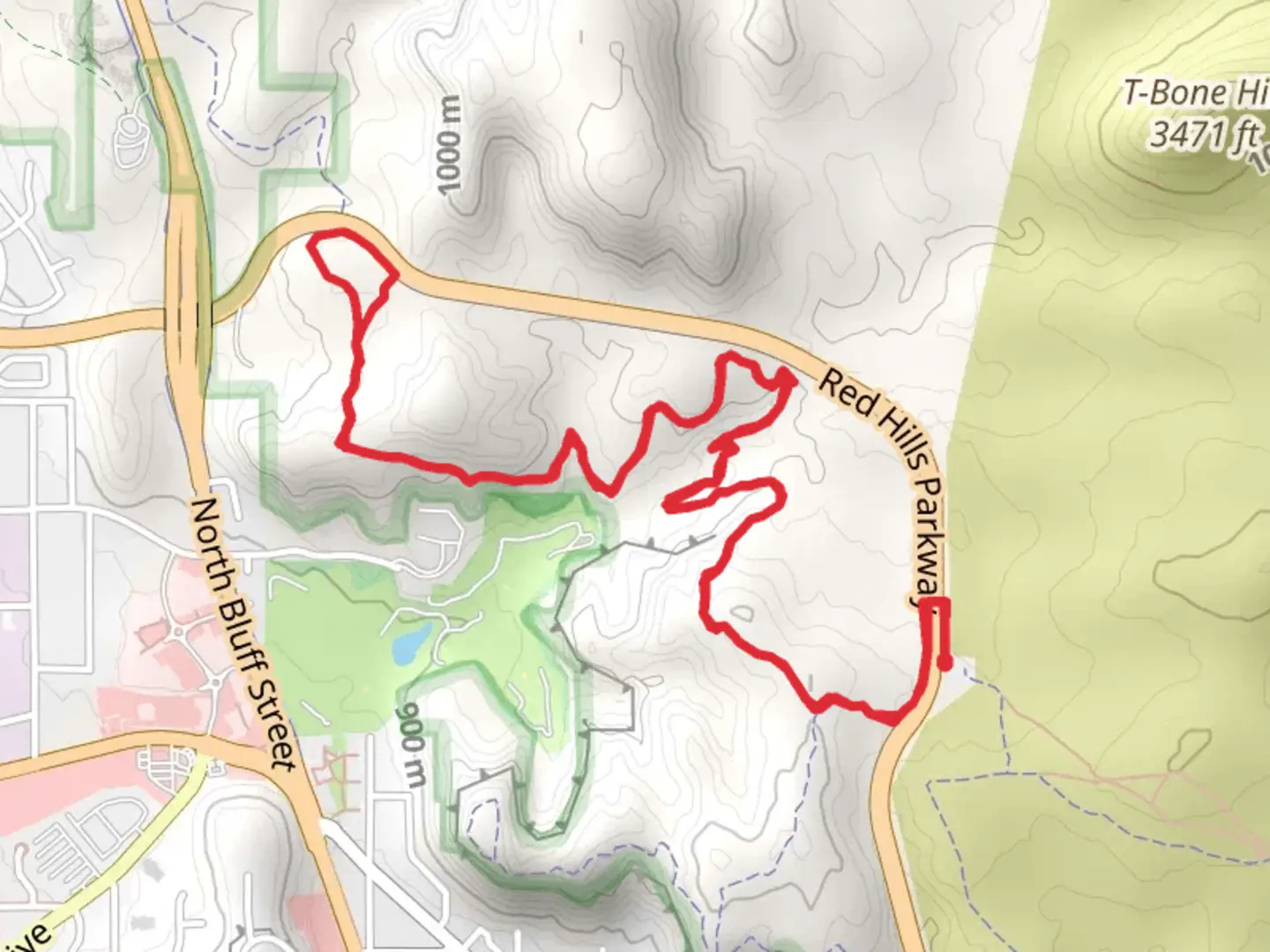
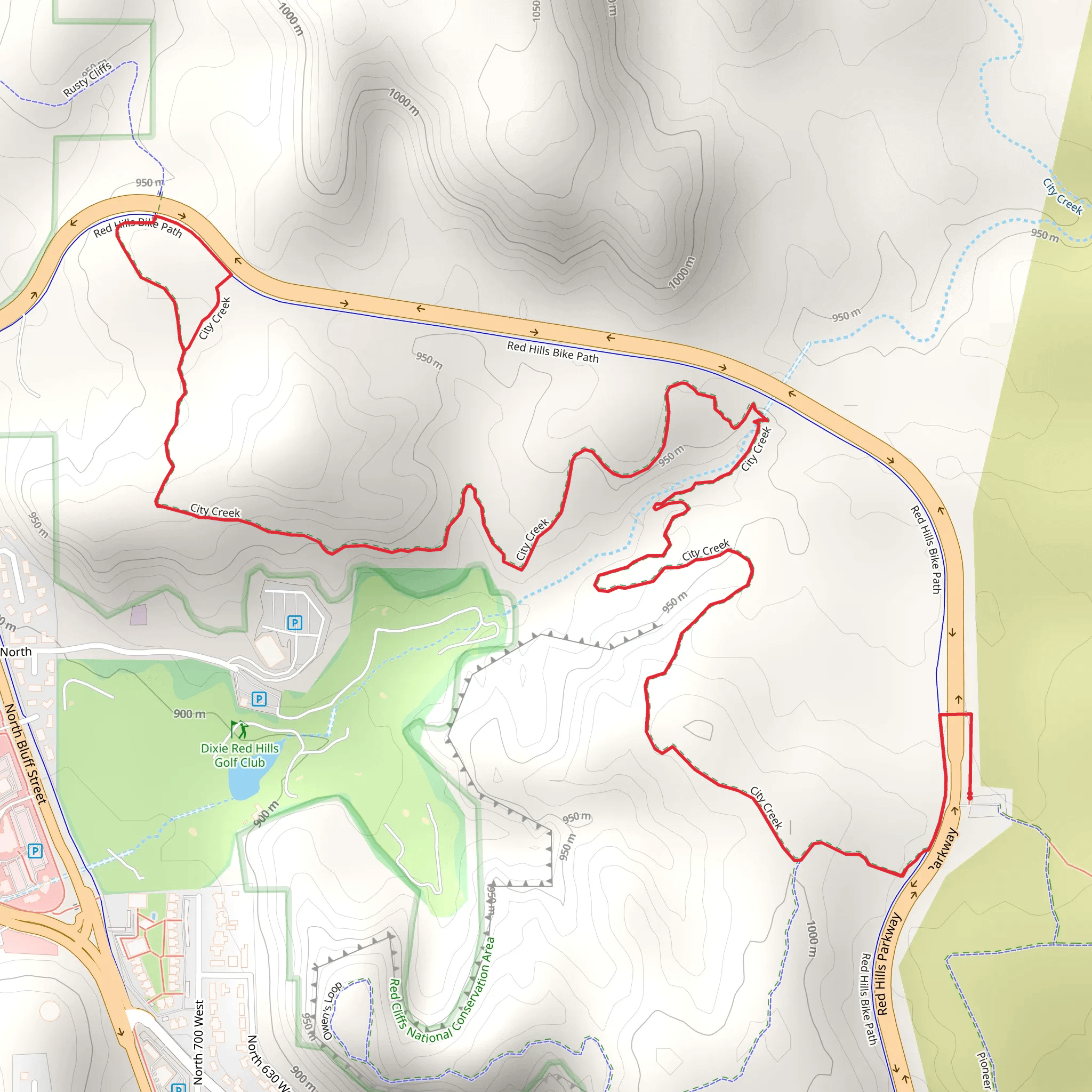
Starting near Washington County, Utah, the City Creek Trail is a captivating loop trail that spans approximately 9 km (5.6 miles) with an elevation gain of around 300 meters (984 feet). This medium-difficulty trail offers a blend of natural beauty, historical significance, and a moderate challenge suitable for most hikers.
Getting There
To reach the trailhead, you can drive or use public transport. If driving, head towards Washington County, Utah, and look for parking near the City Creek Trailhead, which is close to the intersection of Red Hills Parkway and Skyline Drive. For those using public transport, the nearest bus stop is at Red Hills Parkway, from where you can walk a short distance to the trailhead.
Trail Navigation
For navigation, it's highly recommended to use the HiiKER app, which provides detailed maps and real-time updates to ensure you stay on track.
Trail Highlights
As you embark on the City Creek Trail, you'll first encounter a gentle ascent through a landscape dotted with native flora. The initial 1.5 km (0.9 miles) offers a gradual climb, gaining about 100 meters (328 feet) in elevation. This section is relatively easy and provides a good warm-up for the more challenging parts ahead.
Flora and Fauna
The trail is rich in diverse plant life, including sagebrush, juniper, and various wildflowers that bloom in the spring and early summer. Keep an eye out for local wildlife such as mule deer, rabbits, and a variety of bird species. The area is also known for its lizards and occasional sightings of coyotes.
Historical Significance
Around the 3 km (1.9 miles) mark, you'll come across remnants of old mining operations. These historical artifacts date back to the late 19th and early 20th centuries when the area was actively mined for silver and other minerals. Take a moment to explore these relics and imagine the lives of the miners who once worked here.
Scenic Overlook
At approximately 4.5 km (2.8 miles), you'll reach a scenic overlook that offers panoramic views of the surrounding valleys and distant mountain ranges. This is a perfect spot to take a break, hydrate, and capture some memorable photos. The elevation gain to this point is about 200 meters (656 feet), making it one of the more strenuous sections of the trail.
Creek Crossing
As you continue, the trail descends towards City Creek. Around the 6 km (3.7 miles) mark, you'll encounter a creek crossing. Depending on the season, the water level can vary, so be prepared with appropriate footwear. The sound of the flowing water and the lush greenery around the creek provide a refreshing change of scenery.
Final Stretch
The last 3 km (1.9 miles) of the trail loop back towards the trailhead, with a mix of gentle descents and flat sections. This part of the trail is less strenuous and allows you to enjoy the serene environment as you make your way back. The total elevation gain for the entire trail is around 300 meters (984 feet), making it a moderate but rewarding hike.
Preparation Tips
- Wear sturdy hiking boots with good grip.
- Carry plenty of water, especially during the hotter months.
- Use the HiiKER app for navigation and real-time updates.
- Bring a camera to capture the scenic views and historical sites.
- Be mindful of wildlife and maintain a safe distance.
The City Creek Trail offers a well-rounded hiking experience with its mix of natural beauty, historical landmarks, and moderate challenges. Whether you're a seasoned hiker or a casual adventurer, this trail provides a fulfilling outdoor experience.
What to expect?
Activity types
Comments and Reviews
User comments, reviews and discussions about the City Creek Trail, Utah.
4.62
average rating out of 5
13 rating(s)
