Download
3D Flyover
Add to list
More
15.7 km
~3 hrs 17 min
90 m
Point-to-Point
“The 16-kilometer Burr Pass to Roost House trail offers flat yet moderate hiking through Utah’s rugged desert beauty.”
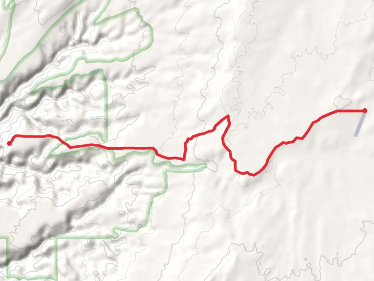
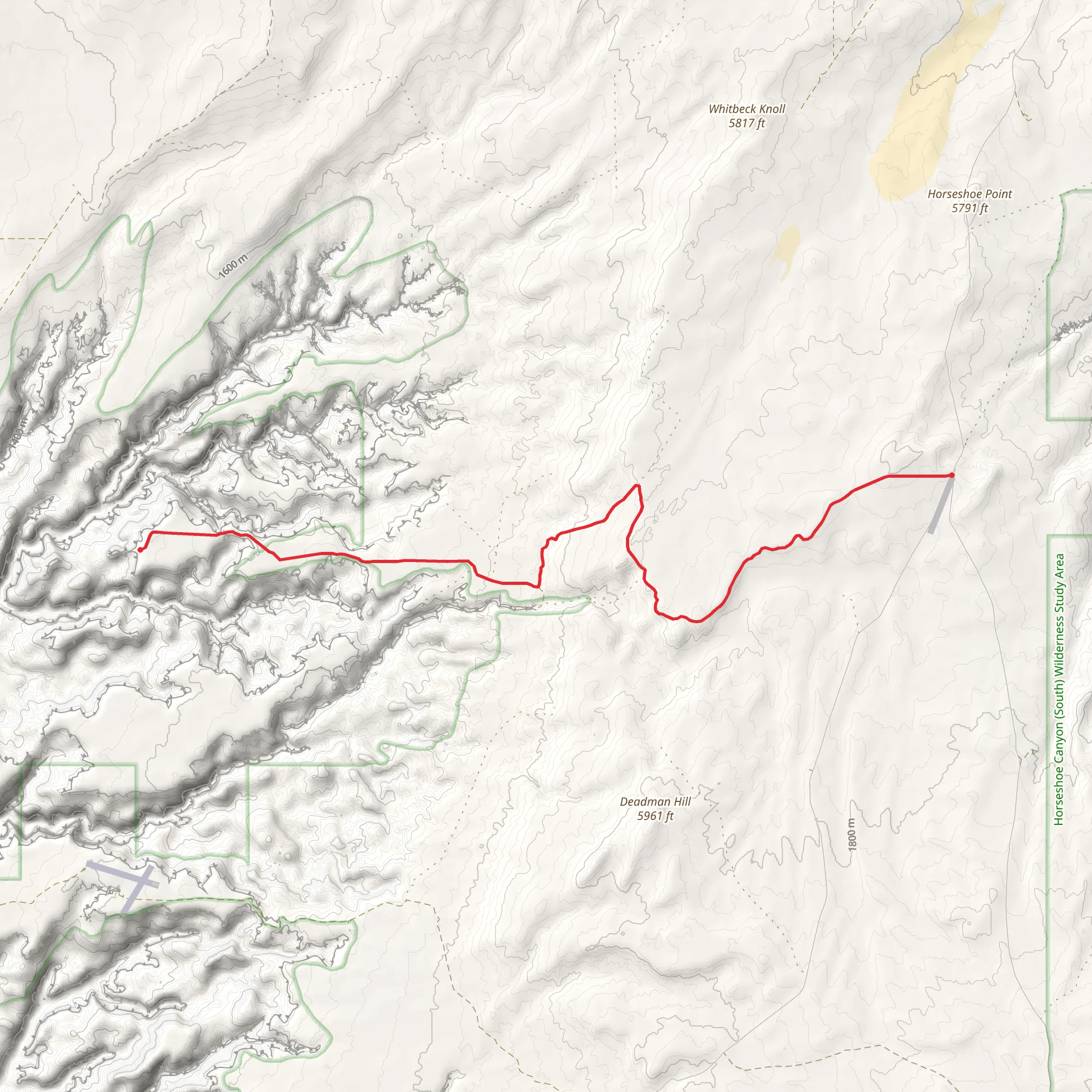
Starting near Wayne County, Utah, the Roost House via Burr Pass trail stretches approximately 16 kilometers (about 10 miles) with no significant elevation gain, making it a relatively flat but engaging hike. This point-to-point trail is estimated to be of medium difficulty, suitable for hikers with some experience.
Getting There
To reach the trailhead, you can drive or use public transport. If driving, head towards Wayne County, Utah, and look for the Burr Pass area. The nearest significant landmark is the town of Hanksville, which is about 30 miles (48 kilometers) away. From Hanksville, follow local roads towards Burr Pass. Public transport options are limited, so driving is the most reliable way to get there.
Trail Overview
The trail begins near Burr Pass and takes you through a variety of landscapes, including desert terrain, rocky outcrops, and sparse vegetation. The lack of elevation gain makes it accessible, but the distance and terrain require a moderate level of fitness.
Key Landmarks and Points of Interest
- Burr Pass: Starting at Burr Pass, you'll be greeted by expansive views of the surrounding desert. This area is known for its rugged beauty and is a great spot for photography.
- Roost House: The trail leads to the Roost House, an old homestead that offers a glimpse into the region's history. The house is a relic from the early 20th century, providing a fascinating look at how settlers lived in this harsh environment.
- Wildlife: Keep an eye out for local wildlife, including desert lizards, jackrabbits, and various bird species. The area is also home to coyotes and occasionally, mountain lions, so stay alert.
- Flora: The trail is dotted with hardy desert plants like sagebrush, juniper, and various cacti. Springtime brings a burst of wildflowers, adding color to the otherwise arid landscape.
Navigation and Safety
Given the remote nature of this trail, it's crucial to have a reliable navigation tool. HiiKER is highly recommended for its detailed maps and real-time tracking features. Ensure you have downloaded the trail map before setting out, as cell service can be spotty.
Historical Significance
The Roost House itself is a significant historical landmark. Built in the early 1900s, it served as a homestead for settlers trying to make a life in the unforgiving desert. The house stands as a testament to human resilience and ingenuity.
Preparation Tips
- Water: Carry plenty of water, as there are no reliable water sources along the trail.
- Sun Protection: The desert sun can be intense, so bring sunscreen, a hat, and sunglasses.
- Footwear: Wear sturdy hiking boots to navigate the rocky terrain comfortably.
- First Aid: A basic first aid kit is essential for dealing with minor injuries or emergencies.
This trail offers a unique blend of natural beauty and historical intrigue, making it a rewarding experience for those prepared to tackle its challenges.
What to expect?
Activity types
Comments and Reviews
User comments, reviews and discussions about the Roost House via Burr Pass, Utah.
4.67
average rating out of 5
9 rating(s)
