Download
3D Flyover
Add to list
More
31.7 km
~2 days
1178 m
Multi-Day
“A full-day loop of forested grind, airy ridge views, and classic Appalachian Trail camaraderie.”
This ~32 km (20 mi) loop/through-hike with roughly 1,200 m (3,940 ft) of climbing links three very different personalities: the steady forested climb of the Brown Mountain Trail, the higher, more open-feeling ridge travel of the Rockytop Trail, and the iconic Appalachian Trail corridor with its well-worn tread and classic long-distance-hiking atmosphere. Expect a full day for strong hikers, or a relaxed overnight if you want time for viewpoints, longer breaks, and side explorations.
Because your “Hike head: near” field is incomplete and no coordinates were included, I can’t reliably convert a lon/lat to a nearest address/landmark yet. If you share the trailhead coordinates (or the parking lot name you’re aiming for), I’ll pin it to the nearest recognized address or landmark and tailor the access directions precisely.
Getting to the start (car + public transport planning)
By car (most common for this route): - These trail combinations are typically started from a designated trailhead parking area near a state park, forest road pull-off, or a gap where the Appalachian Trail crosses a road. Plan for: - A clearly signed lot (best case), or - A gravel pull-off with limited spaces (common at AT road crossings). - Arrive early on weekends—AT access points fill quickly in peak season.
By public transport (often limited): - In most Appalachian Trail regions, public transit rarely reaches the actual trailhead. A workable approach is: 1. Take intercity bus/train to the nearest larger town, 2. Use a local taxi/rideshare (availability varies) to the trailhead, 3. If you’re doing a point-to-point variant, pre-arrange a shuttle. - If you tell me the nearest town you’re using (or provide coordinates), I can outline the most realistic transit chain and likely pickup points.
What the day feels like underfoot
You’re looking at a medium-rated hike by estimate, but the numbers put it on the upper end of “medium” for many hikers: 32 km (20 mi) plus 1,200 m (3,940 ft) is a long, climbing-heavy day. The difficulty usually comes less from technical footing and more from: - sustained ascents/descents, - cumulative fatigue late in the day, - and keeping a steady pace while managing water and food.
The tread will likely alternate between: - packed dirt and leaf litter in lower forest, - rockier sections on ridge lines and near viewpoints, - occasional roots and short, steeper pitches where water has eroded the trail.
Brown Mountain Trail: the workhorse climb
This segment commonly serves as the “engine room” of the route—where you gain a meaningful chunk of the day’s elevation in a relatively direct line.
- Typical character: forested switchbacks or steady grades, with periodic steeper ramps.
- What to watch for:
- Erosion channels after rain—ankle-rollers hidden under leaves.
- Blowdowns after wind events; detours can be faint where people walk around obstacles.
- Erosion channels after rain—ankle-rollers hidden under leaves.
- Pacing tip: settle into a sustainable cadence early. On a 32 km (20 mi) day, going too hard in the first 5–8 km (3–5 mi) is the most common mistake.
Depending on the exact alignment you’re using, you may pick up early glimpses through the trees rather than big open overlooks—think “teasers” that get better as you gain the ridge.
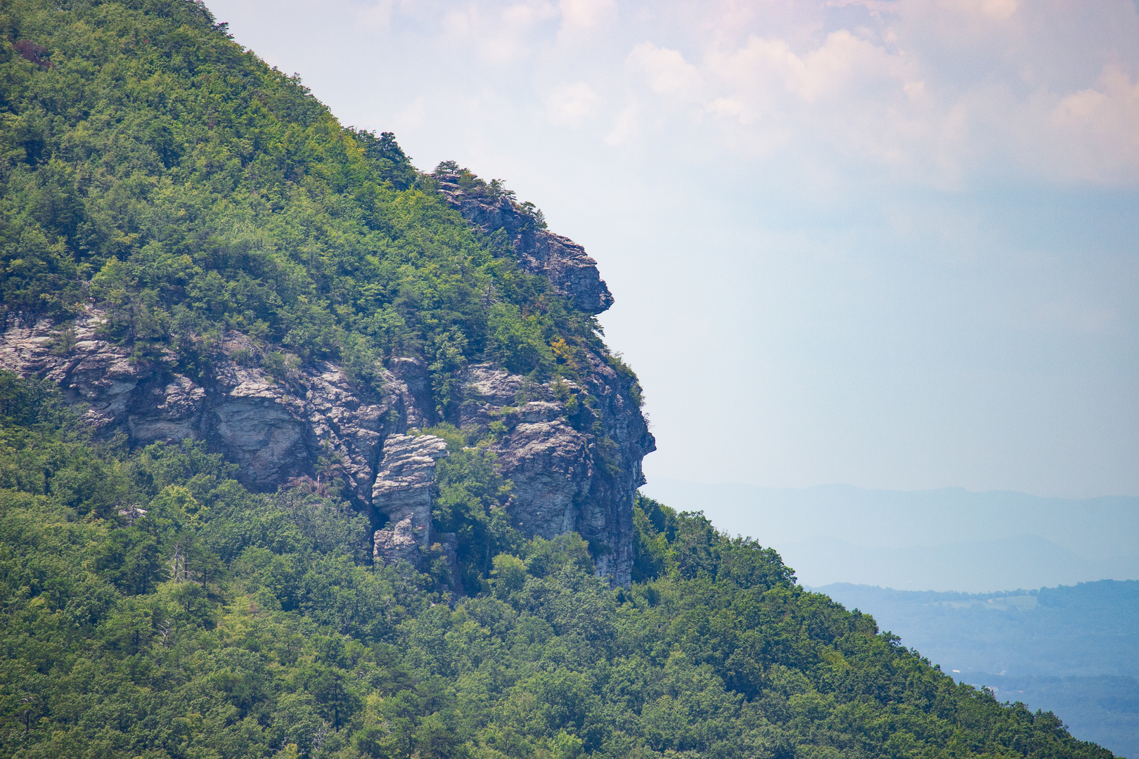
Rockytop Trail: ridge travel, views, and exposure
Rockytop-style ridgeline trails often feel more scenic and airy, even when still wooded, because the forest thins and the terrain becomes more textured.
- Typical character: rolling ridge with short climbs, occasional rocky footing, and intermittent viewpoints.
- Footing hazards:
- Rock slabs and embedded stone can be slick when wet or frosty.
- In shoulder seasons, thin ice can linger in shaded notches even when lower elevations are clear.
- Rock slabs and embedded stone can be slick when wet or frosty.
- Wind and weather: ridges amplify windchill. Pack a layer you can put on quickly when you stop.
If your route hits any open outcrops, treat them as “no-fall zones” in wet conditions—slow down, keep three points of contact, and avoid stepping on lichen-coated rock.
Appalachian Trail segment: fast miles, big corridor energy
Once you connect with the Appalachian Trail, the navigation usually becomes simpler, and the tread often feels more “highway-like” compared to side trails—though that varies by state and local geology.
- Navigation: use HiiKER to confirm junctions and to avoid accidentally following side paths near shelters, campsites, or water sources.
- Crowds: you may encounter:
- day hikers near road crossings and viewpoints,
- section hikers on weekends,
- and (in peak thru-hiking windows) long-distance hikers moving steadily through.
- Landmarks you might encounter (route-dependent):
- a shelter area (often with a nearby water source),
- a gap/road crossing,
- classic ridge viewpoints or balds (if present in your specific area).
Distances, climbing, and time budgeting (practical planning)
With ~32 km (20 mi) and ~1,200 m (3,940 ft) gain, a realistic moving-time range for many hikers is 7–10 hours moving, plus breaks. If you’re newer to longer days, plan for 10–12 hours total.
A common way this route breaks down (approximate,

Surfaces
Ground
Unpaved
Unknown
Asphalt
Paved
Comments and Reviews
User comments, reviews and discussions about the Brown Mountain Trail, Rockytop Trail and Appalachian Trail, Virginia.
average rating out of 5
0 rating(s)