Download
3D Flyover
Add to list
More
7.3 km
~1 hrs 51 min
239 m
Out and Back
“Wander Brown Mountain Creek’s cool, ferny shade—steady climbs, slick rocks, and splashy rewards for prepared hikers.”
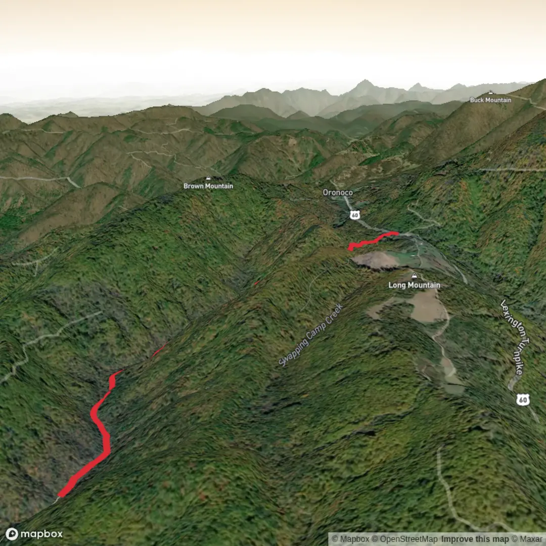
This out-and-back follows Brown Mountain Creek through a cool, shaded valley, with a steady but manageable climb that adds up to roughly 7 km (4.3 mi) round trip and about 200 m (656 ft) of total elevation gain. Expect a mix of narrow singletrack and creekside walking, frequent damp sections, and a few short pinches where the trail briefly steepens before easing again—overall consistent with a Medium effort for most hikers.
Getting to the trailhead (car + public transport)
You’ve left the “near …” field incomplete, so I can’t reliably place the start point yet or convert coordinates to a nearby address/landmark. If you share either:
- a lat/long for the trailhead, or
- the state/park/nearest town, or
- a HiiKER link,
…I’ll translate it to the nearest well-known landmark/address and give precise car access notes (parking, road surface, gate times if any) plus the most realistic public transport approach (nearest stop/station + last-mile options).
For now, plan on typical creek-valley access logistics: - By car: trailheads for creek walks are often on unsealed/gravel spurs; allow extra time, and don’t assume mobile reception at the start. Bring a spare tire if you’re in a remote forest area. - By public transport: usually feasible only to the nearest town; the final leg commonly requires rideshare/taxi or a pre-arranged lift. If there’s a park shuttle in the area, it’s often seasonal/weekends only.
What the walk feels like underfoot
The defining feature is the creek corridor: cooler air, more shade, and more moisture than surrounding ridgelines. That means: - Slippery surfaces: algae-slick rocks, wet roots, and polished stones near crossings. - Soft ground: muddy patches after rain; gaiters help if you dislike grit and leeches (where they occur). - Short, steeper bursts: even with only ~200 m (656 ft) total gain, creek trails often “stairstep” up the valley—flat stretches interrupted by brief climbs around rockier banks or small bluffs.
Use HiiKER to keep an eye on where the track swaps sides of the creek and where any side paths split off—creek valleys can have faint “fisher tracks” that look convincing for 50–100 m (0.03–0.06 mi) before fading.
Route breakdown with approximate distances
Because the exact trailhead location isn’t provided, treat these as planning-grade estimates for a typical 7 km (4.3 mi) out-and-back:
- 0.0–1.5 km (0.0–0.9 mi): Gentle warm-up along the creek with minimal climbing (often 20–50 m / 66–164 ft gain). You’ll likely pass the first obvious “decision points” here: informal side tracks to the water, small clearings, or minor junctions.
- 1.5–3.5 km (0.9–2.2 mi): The climb becomes more noticeable, accumulating most of the elevation gain (roughly 120–160 m / 394–525 ft across this middle section). Expect tighter turns, occasional rock steps, and at least one spot where the trail narrows above the creek.
- Turnaround area (~3.5 km / 2.2 mi): Often marked by a natural “destination” such as a prettier cascade, a broader pool, a small footbridge, a junction, or simply where the maintained tread becomes less distinct. This is a good place to reassess time, weather, and footing before returning the same way.
Landmarks, nature, and wildlife to look for
Creek valleys tend to concentrate both biodiversity and “small landmarks” that make the walk memorable:
- Water features: riffles, small cascades, and plunge pools. After rain, crossings can become the crux of the hike; in dry periods, the creek may shrink to trickles with exposed rock shelves.
- Riparian vegetation: ferns, mosses, and moisture-loving shrubs are common. In warmer months, shaded creek corridors can feel dramatically cooler than nearby open slopes.
- Birdlife: creeklines often attract insect-eaters and water-associated birds. Early morning is typically the most active period.
- Reptiles and amphibians: you may see skinks or frogs near damp edges; watch where you place hands/feet on rocks and logs.
- Insects: mosquitoes and biting flies can be persistent in still, humid sections; ticks are possible in grassy edges near the trailhead or any sunnier openings.
If you’re hiking in a region where snakes are present, creekside rocks are classic basking spots when sun reaches the water—step onto logs/rocks rather than over them when visibility is limited.
Key hazards and what to plan for
- Creek crossings: even shallow crossings can be slick. Trekking poles help with balance. If water is moving fast or is above mid-shin, consider turning around—creek levels can rise quickly upstream.
- Flashy weather: valleys funnel wind and storms; rain upstream can affect crossings even if it’s not raining where you are.
- Navigation in a narrow valley: it’s easy to follow the creek instead of the trail. Keep HiiKER handy at any braided sections or where the tread disappears onto rock.
- Limited exit options: out-and-backs are straightforward, but they also mean you must return the same way—budget energy for the return, especially if the “easy” downhill becomes a slip hazard.
Timing, fitness, and packing notes (

Surfaces
Ground
Unknown
Paved
Comments and Reviews
User comments, reviews and discussions about the Brown Mountain Creek Out and Back, Virginia.
average rating out of 5
0 rating(s)