Download
3D Flyover
Add to list
More
41.2 km
~2 days
1742 m
Multi-Day
“A ridge-and-valley odyssey along Virginia’s Blue Ridge—big views, steep drops, and a rugged return.”
This point-to-point is a big, ridge-and-valley traverse through Virginia’s central Blue Ridge: long stretches of Appalachian Trail ridgeline walking, a major drop to the Tye River drainage, then the rugged, water-rich climb back out on the Mau-Har Trail to finish at the Blue Ridge Parkway. At ~41 km / ~25.5 mi with ~1,800 m / ~5,900 ft of total ascent, it’s “Medium” only for hikers who are already comfortable with sustained climbs/descents, rocky footing, and a full day (or an efficient overnight) in remote-feeling terrain.
Getting to the start (Hog Camp Gap) and the finish (Reed’s Gap)
Start: Hog Camp Gap (Appalachian Trail crossing of Wiggins Spring Rd / Forest Service Road 48), Amherst County, VA
Hog Camp Gap is a signed Appalachian Trail road crossing on Wiggins Spring Road (USFS Road 48) in the Mount Pleasant National Scenic Area vicinity. A commonly used navigation reference is “Appalachian Trail Access – Hog Camp Gap (Amherst, VA)” (as labeled in major navigation apps), and the gap itself sits around 1,066 m / 3,497 ft elevation. (topozone.com)
- By car: Expect a gravel Forest Service approach. In wet weather, after storms, or during freeze/thaw, potholes and ruts can slow low-clearance vehicles—drive conservatively and allow extra time.
- By public transport: There isn’t practical public transit to this trailhead. The closest realistic approach is a train/bus to a larger town (e.g., Charlottesville, Staunton, or Lynchburg) and then a rideshare/taxi to the Forest Service road network—availability can be limited and cell service can be patchy near the gap, so pre-arrange if possible.
Finish: Reeds (Reed’s/Reids) Gap parking area, Blue Ridge Parkway at VA-664 (Beech Grove Rd), near Nellysford/Montebello, VA
Reeds Gap is a well-known Blue Ridge Parkway access point at the intersection of the Blue Ridge Parkway and VA-664, with a gravel pull-off used for the Three Ridges area. (onxmaps.com)
- By car: This is a straightforward “parkway pull-off” style trailhead; it can fill on weekends and peak foliage days.
- Shuttle logistics: Because this is point-to-point, most hikers either (1) run a two-car shuttle, or (2) arrange a private shuttle from the Nellysford/Wintergreen/Waynesboro area. Cell reception is unreliable on parts of the route—download your HiiKER map for offline use before you leave pavement.
What the route feels like (segment-by-segment)
0.0–~10 km / 0–6 mi: Hog Camp Gap to high ridgeline walking
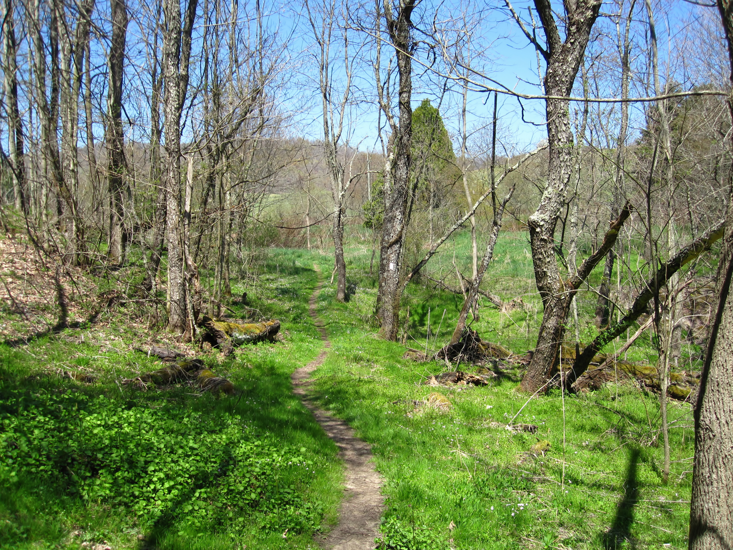
From the road crossing at Hog Camp Gap, you settle quickly into classic Blue Ridge Appalachian Trail travel: mixed hardwood forest, frequent rock underfoot, and a steady rhythm of short climbs and rollers. Early on, the tread can be leaf-covered in shoulder seasons, hiding ankle-twisting rocks and roots—this is where trekking poles pay off.
Wildlife is typical for this part of Virginia: white-tailed deer, wild turkey, and the possibility of black bear. Bears here are usually shy, but food storage discipline matters—especially if you’re stopping near shelters or established camps.
~10–~22 km / ~6–13.5 mi: Big climbs, bigger views, and exposed-feeling ridge sections
As you continue northbound, the route builds toward the Three Ridges massif. The forest opens intermittently to ledges and viewpoints where you’ll get long looks across the Shenandoah Valley side and toward the layered Blue Ridge. These open spots are also where weather hits hardest:
- Wind: can be surprisingly strong on the crest

Surfaces
Unknown
Ground
Wood
Comments and Reviews
User comments, reviews and discussions about the Hog Camp Gap to Reed's Gap via Appalachian Trail and Mau Har Trail, Virginia.
average rating out of 5
0 rating(s)