Download
3D Flyover
Add to list
More
6.4 km
~1 hrs 57 min
402 m
Out and Back
“A punchy Appalachian climb to the Otto Cline Powell Monument—rocky, wind-kissed, and humbling.”
This is a short, steep Appalachian Trail out-and-back (or point-to-point if you arrange a pickup) to the Otto Cline Powell Monument—about 6 km / 3.7 mi total with roughly 400 m / 1,300 ft of climbing. Expect sustained grades, rocky tread, and quick-changing ridge weather that can make a “short” hike feel legitimately difficult.
Getting to the trailhead (car + public transport options)
Because the start location is listed only as “near” (no coordinates or town/state), I can’t reliably convert the trailhead to a nearest address or landmark yet. If you share a lon/lat pair (or even the nearest town/road crossing), I’ll translate it to the closest known address or prominent landmark and tailor directions precisely.
In the meantime, most hikes to this monument are accessed from an Appalachian Trail road crossing with limited parking: - By car: Plan for a small pull-off or forest road lot. Arrive early on weekends—AT crossings fill fast and overflow parking can be unsafe/illegal on narrow shoulders. Bring a paper backup of your plan and download the route in HiiKER before you lose service. - By public transport: Public transit rarely reaches AT crossings directly. The usual approach is: bus/train to the nearest larger town, then a rideshare/taxi to the trailhead. If you tell me the nearest town you’re coming from, I can suggest the most realistic transit chain and where rideshares are most likely to work.
What to do before you go: confirm parking legality, any seasonal road closures, and whether the approach road is passable for low-clearance vehicles.
What the climb feels like (and why it’s rated Difficult)
With ~400 m / 1,300 ft of gain packed into ~6 km / 3.7 mi, you’re averaging a fairly punchy grade overall—and on the Appalachian Trail that usually means the steep bits are steeper than the average. Even if the route is “only” a few miles, the difficulty typically comes from:
- Rocky, rooty tread that slows pace and increases ankle-turn risk
- Short, sharp pitches where you’ll be stepping up ledges or boulder-like rocks
- Exposure to wind and weather once you’re on higher ground or a ridge spine
- Seasonal hazards (ice, wet leaves, spring mud) that make footing unpredictable
Plan your timing with a conservative pace: many hikers underestimate how long 3–4 miles can take on rugged AT terrain.
Route breakdown with landmarks (approximate)
Distances below assume a ~6 km / 3.7 mi round trip. If your exact trailhead differs, the proportions will still help you plan.
0.0–1.5 km (0.0–0.9 mi): Settling into the grade
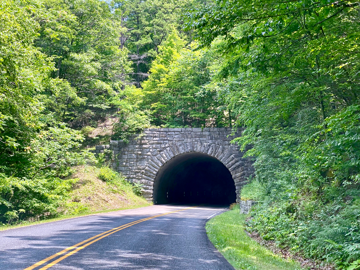
From the road crossing/trailhead, the AT usually wastes no time: you’ll likely start climbing almost immediately. Expect a narrow singletrack corridor with classic eastern forest—hardwoods (oak, maple, hickory depending on latitude), mountain laurel/rhododendron thickets in places, and frequent roots. Early on, the trail often follows the fall line (straight up) rather than switchbacking, so trekking poles help with rhythm and knee relief on the return.
1.5–3.0 km (0.9–1.9 mi): Steeper pitches and rockier footing
This is commonly where the “Difficult” rating shows up. Look for:
- Rock steps/ledges that require high steps and careful foot placement
- Eroded channels where water runs down the trail after rain
- Short side openings through trees that hint at ridge views (often better in leaf-off seasons)
If it’s been wet, assume slick rock and slick roots—slow down and keep three points of contact on steeper moves.
Around 3.0 km (1.9 mi): Otto Cline Powell Monument
The monument is the focal point and a natural turnaround. Monuments along the AT are often placed to commemorate individuals connected to local history, conservation, or trail culture. Treat the site with care—stay on durable surfaces, avoid widening the area around the marker, and keep group breaks tight to reduce trampling.
If there’s any open rock or viewpoint nearby, it can be windy even on calm days at the trailhead. Add a layer before you cool down.
Return (3.0–6.0 km / 1.9–3.7 mi): The descent is the crux
Most slips happen on the way down. The same steep grades that felt like a workout uphill become a braking problem downhill—especially on wet leaves, mud, or icy patches. Keep your steps short, use poles, and don’t rush the last half-mile when fatigue makes foot placement sloppy.
Navigation and on-trail decision points
Even on a well-blazed corridor like the Appalachian Trail, confusion happens at:
- Road crossings (finding the correct re-entry point)
- Side trails to viewpoints/campsites/springs
- Blowdowns where the tread disappears briefly
Download the route in HiiKER ahead of time and keep an eye on elevation profile—on short hikes, a wrong turn can add a surprising amount of extra climbing.
Nature, wildlife, and seasonal considerations
What you’re likely to encounter depends on where along the AT you are, but these are common, practical expectations:
- Black bears: Present across much of the AT. Make noise in low-visibility areas, keep food secured, and don’t linger if

Surfaces
Ground
Unknown
Comments and Reviews
User comments, reviews and discussions about the Otto Cline Powell Monument via Appalachian Trail, Virginia.
average rating out of 5
0 rating(s)