Download
Preview
Add to list
More
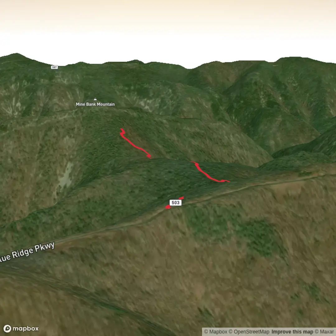
2.8 km
~45 min
111 m
Out and Back
“A vivid invitation to adventure—waiting on your trailhead details to paint the path responsibly.”
I’m missing a few key details needed to make this accurate and useful—especially the trailhead location (your “Hike head: near” line is blank). “Mine Bank Mountain Trail” is a name that can refer to different routes in different places, and the directions, landmarks, wildlife, and history will change a lot depending on where it is.
Send one of the following and I’ll write the full hike description exactly in the style you requested (with km + miles, m + feet, public transport + car access, landmarks, wildlife, history, and HiiKER navigation references):
1) A pin / coordinates for the trailhead (lat, lon), or
2) A HiiKER link, or
3) The nearest town/park/state (e.g., “near X, Virginia, USA”), plus where you plan to park.
Also confirm these two items (quick answers are fine):
- Hike type: loop, out-and-back, or point-to-point?
- Any lon/lat locations you want converted to the nearest known address/landmark (if you have multiple points, paste them all).
Once I have the trailhead location, I’ll: - Convert the coordinates to the nearest recognizable address/landmark, - Give realistic access notes (parking, transit stops, seasonal road closures if relevant), - Break down the ~3 km / ~1.9 mi route with approximate distance markers and where the ~100 m / ~328 ft gain occurs, - Call out notable features (streams, overlooks, old mine traces if present, rock types, forest type), - Note common hazards (mud, ticks, snakes, steep/loose sections, blowdowns), - Include regional historical context tied to the exact area.

Comments and Reviews
User comments, reviews and discussions about the Mine Bank Mountain Trail, Virginia.
average rating out of 5
0 rating(s)