Download
3D Flyover
Add to list
More
22.9 km
~4 hrs 54 min
195 m
Point-to-Point
“A gentle, water-laced forest ramble where steady rhythm, birdsong, and quiet river views carry you.”
This is a long, mostly-flat Piedmont river-and-lake walk through Bear Creek Lake State Park and the surrounding Cumberland State Forest near Cumberland, Virginia. At roughly 23 km (14.3 mi) with about 200 m (656 ft) of total climbing, it’s a steady, low-stress day on soft forest tread with frequent water views—more about rhythm and scenery than steep grades.
Where you’re starting (nearest landmark / address)
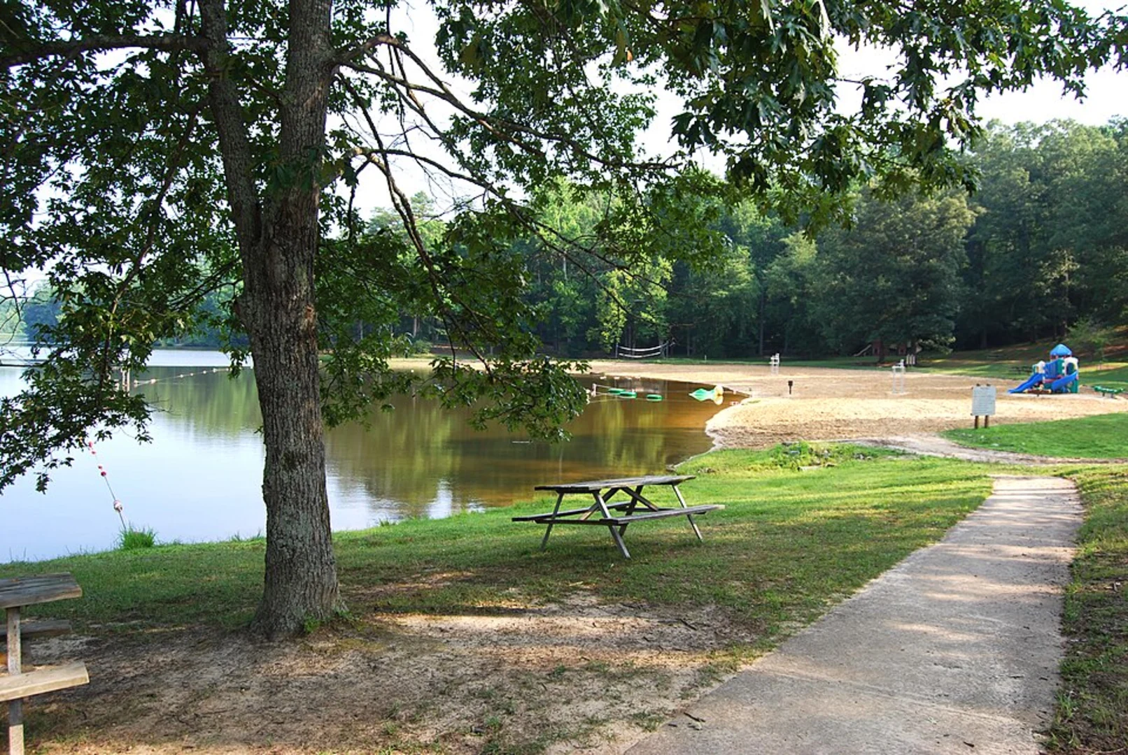
The most common access for this route is from Bear Creek Lake State Park, at 22 Bear Creek Lake Rd, Cumberland, VA 23040 (park entrance/primary facilities area). (dwr.virginia.gov)
From there, hikers typically connect onto the park’s trail system and the longer Willis River corridor route that runs out into the state forest and back.
Getting to the trailhead (car + public transport reality check)
By car
- Navigate to Bear Creek Lake State Park (22 Bear Creek Lake Rd, Cumberland, VA 23040) and park in the main day-use lots near the lake/park facilities. (dwr.virginia.gov)
- Expect a typical Virginia state park setup: signed entrance, staffed areas in busier seasons, and a short drive within the park to day-use parking.
By public transport - There isn’t practical, frequent public transit directly to the park entrance. Plan on a car shuttle/rideshare from the nearest towns, or arrange a drop-off. In this part of rural central Virginia, the last miles are the limiting factor.
What the hike feels like underfoot (and why it stays “easy”)
The terrain here sits in Virginia’s Piedmont, so you’ll get rolling hills rather than mountains—short rises and dips that add up to the ~200 m (656 ft) gain without ever feeling like a sustained climb. (naturalatlas.com)
Footing is generally forgiving: forest dirt, leaf litter, and occasional rooty or slightly eroded sections where water drains off the trail. After rain, expect muddy patches in low areas and near stream approaches.
Landmarks and scenery you’ll actually notice
Early miles: lake country and mixed forest You’ll spend time near Bear Creek Lake and the park’s developed recreation zone before the route settles into quieter woods. The forest is classic Piedmont mix—hardwoods with pine mixed in—opening up now and then to water edges and small inlets.
Middle miles: the Willis River corridor
As you get farther from the park core, the character becomes more “state forest”: longer uninterrupted stretches of trees, fewer people, and more wildlife sign. The trail parallels and repeatedly approaches the Willis River, a significant tributary system in this region (the Willis River ultimately feeds the James River watershed). (en.wikipedia.org)
You’ll also pass near smaller waterways and wet pockets that attract birds and amphibians—good places to slow down, listen, and watch the edges.
Later miles: returning toward the park On the way back, the feel gradually shifts from remote forest back to managed parkland. If you’re timing the day, this is where you’ll appreciate how gentle the grades are—fatigue comes more from distance than elevation.
Navigation and planning notes (use HiiKER)
This is the kind of trail network where intersections can be the only “crux.” In the state forest, junction signage can be inconsistent, and some tread can look similar in multiple directions. Load the route in HiiKER before you arrive, and use it to: - confirm you’re on the correct branch at multi-trail junctions, - track distance remaining (helpful on a 23 km / 14.3 mi day), - avoid accidental add-on miles if you drift onto connecting trails.
Wildlife, plants, and what to watch for
This area supports typical central Virginia woodland wildlife: - White-tailed deer are common, especially at dawn/dusk. - Wild turkey and a wide range of songbirds show up along forest edges and near water. - Near creeks and the river, you may see turtles and hear frogs in warm months.
Practical cautions: - Ticks are a real concern in Virginia from spring through fall—use repellent, do
Surfaces
Unknown
Ground
Unpaved
Comments and Reviews
User comments, reviews and discussions about the Willis River Trail, Virginia.
average rating out of 5
0 rating(s)