Slabcamp Run Trail, Christian Run Trail, Laurel Fork Trail and Buck Run Trail Loop
Download
3D Flyover
Add to list
More
21.8 km
~5 hrs 29 min
677 m
Loop
“A creek-laced loop through shady hardwoods and mossy forks, with steady climbs rewarding patient pacing.”
This loop strings together four classic backcountry corridors—Slabcamp Run, Christian Run, Laurel Fork, and Buck Run—into a long, steady day with frequent creekside walking, shaded hardwood forest, and a couple of sustained climbs that add up to roughly 22 km (13.7 mi) and about 700 m (2,300 ft) of total ascent. Expect a “medium” effort mainly because of the distance and the cumulative climbing rather than any single steep, technical crux.
Getting to the start (car + public transport realities)
Because you wrote “Hike head: near” without a specific town/coordinates, I can’t reliably convert your start point to a nearest address/landmark yet. If you share a lat/long (or a parking lot name, trailhead name, or the nearest road intersection), I’ll pin it to the closest recognized landmark and give turn-by-turn style guidance.
By car (typical for this kind of loop): - Plan on starting from a designated trailhead parking area or a forest road pull-off near one of the loop’s junctions. These multi-trail loops are usually easiest if you begin where two of the four trails meet, so you’re not doing extra out-and-back mileage. - Arrive early: for a 22 km (13.7 mi) loop with 700 m (2,300 ft) gain, many hikers take 6–9 hours depending on breaks, tread conditions, and water crossings.
By public transport: - In most rural trail systems where loops like this exist, public transit often gets you only as far as the nearest town. From there you’d typically need a rideshare/taxi to the trailhead (and cell service can be unreliable). - If you tell me the nearest town (or provide coordinates), I can outline the most realistic bus/train approach and where you’d likely need a last-mile ride.
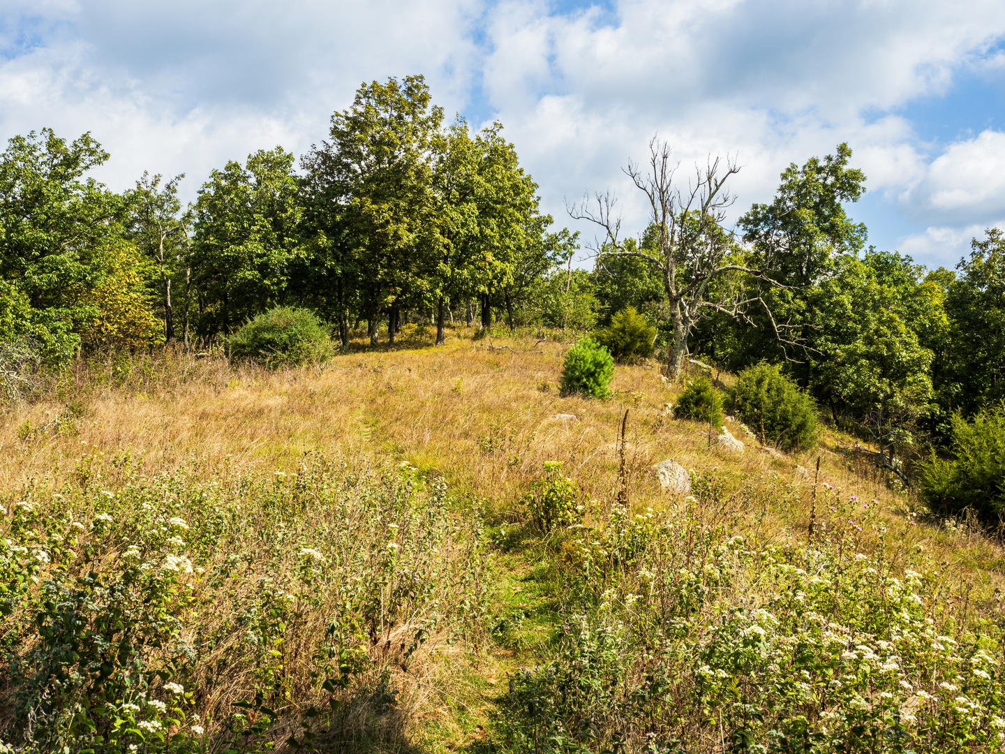
What the terrain feels like over the day
You’ll spend much of the loop in drainages (“runs” and “forks”)—that usually means: - Gentler grades along watercourses, with occasional short, punchy rises where the trail leaves the creek to bypass rough banks or to connect to a ridge. - Softer tread (leaf litter, loam) that can turn slick after rain. - Frequent wet spots: seeps, muddy stretches, and small tributary crossings.
The 700 m (2,300 ft) of gain tends to come in two to three longer climbs rather than constant steepness. If you’re pacing, think in terms of: - A warm-up section of rolling creekside trail, - A sustained climb that earns the elevation, - A longer, more gradual descent back toward water.
Route character by segment (approximate)
Exact mile-by-mile depends on where you start and which direction you travel, but for planning purposes this is a reliable way to think about the loop:
1) Slabcamp Run corridor — ~5–7 km (3–4.5 mi), ~150–250 m (500–820 ft) gain - Typically a shaded, creek-adjacent walk with a steady, moderate grade. - Watch for rocky, rooty sidehill where the trail squeezes between slope and stream. - After rain, expect slick stones at crossings and muddy approaches.
2) Christian Run connector — ~3–5 km (2–3 mi), ~200–300 m (650–1,000 ft) gain - Often feels like the “work” portion: the trail commonly climbs away from the drainage to link basins. - You may encounter short, steeper pitches where water has cut the tread—trekking poles help with rhythm and knee comfort.
3) Laurel Fork stretch — ~5–7 km (3–4.5 mi), ~100–200 m (330–650 ft) gain - Usually returns you to a cooler, moister microclimate: ferns, mossy logs, and dense understory in places. - This is where you’re most likely to see wildlife sign (tracks in soft soil, scat on the trail, browse lines).
4) Buck Run return — ~5–7 km (3–4.5 mi), ~150–250 m (500–820 ft) gain - Often a mix of rolling creekside and gradual descent depending on direction. - Late in the day, this section can feel longer than it looks on paper—plan snacks and a water top-off before committing to the final leg.
Navigation and on-trail decision points
This is a junction-heavy loop, so the main risk isn’t getting “lost in the wilderness,” it’s taking the wrong connector at a fork and adding unintended distance.
- Download the route on HiiKER for offline use before you leave.
- At every signed (or unsigned) intersection, pause and confirm:
- trail name on HiiKER matches what you’re stepping onto,
- your direction of travel matches the next waypoint,
- you’re not accidentally following a game path along the creek bank.
If the area has older signage, you may see faded blazes or inconsistent naming (e.g., “Run” vs “Fork” usage). HiiKER’s track is the cleanest way to keep the loop intact.
Water, crossings, and seasonal conditions
- Water availability: With “Run” and “Fork” trails, you’ll usually have frequent access to water, but treat/filter it.
- Crossings: Expect multiple rock-hop or

Surfaces
Unknown
Gravel
Comments and Reviews
User comments, reviews and discussions about the Slabcamp Run Trail, Christian Run Trail, Laurel Fork Trail and Buck Run Trail Loop, Virginia.
average rating out of 5
0 rating(s)