Download
3D Flyover
Add to list
More
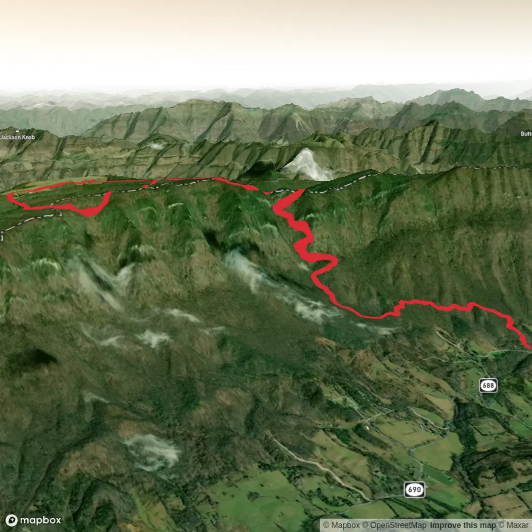
14.6 km
~4 hrs 6 min
708 m
Loop
“A colourful, careful trail tale awaits—share your start point and Ridge Trail details to map it.”
I’m missing a few key pieces needed to make this accurate (especially the start location and which “Ridge Trail” you mean—there are many). Share either a HiiKER link, a GPX/KML, or the start coordinates, and I’ll convert them to the nearest known address/landmark and write the full 15 km / 700 m hike description.
Send any one of the following:
1) Start point (preferred) - Latitude/longitude for the trailhead (or a pin drop), plus the country/state/region.
2) Route source - A HiiKER route link for “Chadwell Gap Trail + Indian Rock Trail + Ridge Trail”, or - A GPX file (paste the text or upload).
3) If you only know the general area - The nearest town/park/forest name (e.g., “near ___ Visitor Center / ___ Trailhead parking”).
Also confirm these two items so I match your intent: - Hike type: loop, out-and-back, or point-to-point? - Season/timing: when are you planning to go (month), and do you want sunrise/sunset timing considerations?
Once I have that, I’ll include: - Turn-by-turn expectations with approx. distances in km/miles and elevation in m/ft - Key landmarks (including the “Indian Rock” feature you’re targeting) - Typical terrain, water/stream crossings, and what to watch for - Likely flora/fauna and any notable hazards - Regional history (Indigenous, settlement, land use, conservation) - Getting to the start by car and public transport (as available), and nearest practical parking/landmark address - Navigation guidance referencing HiiKER only

Surfaces
Dirt
Unknown
Comments and Reviews
User comments, reviews and discussions about the Chadwell Gap Trail, Indian Rock Trail and Ridge Trail, Virginia.
average rating out of 5
0 rating(s)