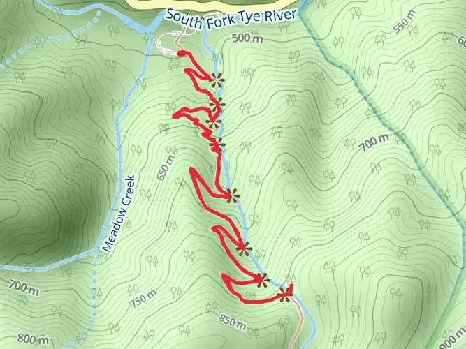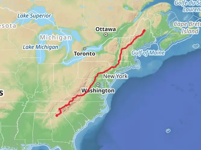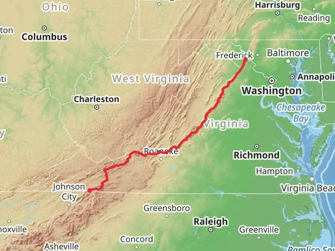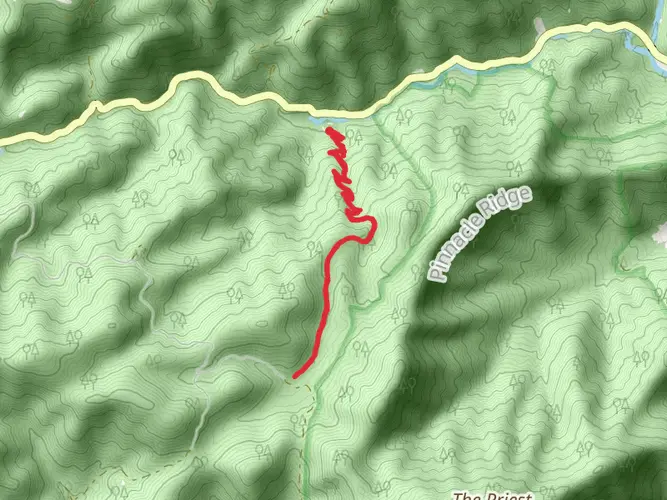
Download
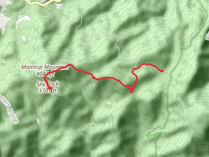
3D Flyover
Add to list
More
Trail length
20.5 km
Time
2 days
Elevation Gain
925 m
Hike Type
Multi-Day

Created by
Old And In The Way
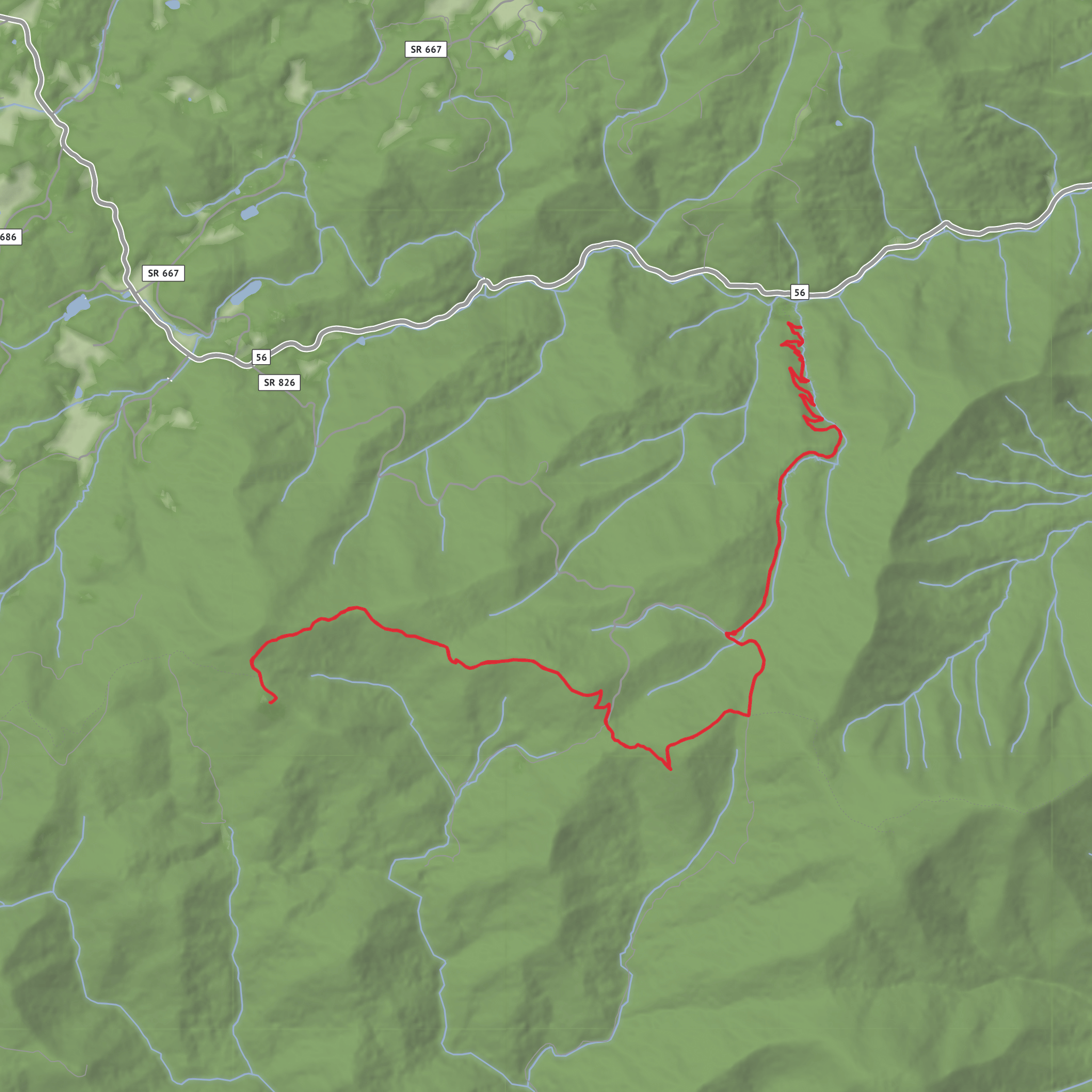
What to expect?
scenic-views
mountain-views
waterfalls
rock-formations
forest
Surfaces
Ground
Unpaved
Asphalt
Comments and Reviews
User comments, reviews and discussions about the Down the Falls, Up the Falls to Spy Rock then back to High Meadows Parking, Virginia.
average rating out of 5
0 rating(s)