Download
3D Flyover
Add to list
More
17.4 km
~4 hrs 30 min
622 m
Multi-Day
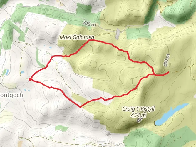
The Plynlimon and Nant-y-Moch Reservoir is a 17.4 km trail that starts in , Ceredigion, Wales. Based on our data, the hike is graded as Medium. For information on how we grade trails, please read measuring the difficulty of a hiking trail on hiiker. Also, check our latest community posts for trail updates. This hike can be completed in approx 4 hrs 31 mins. Caution is advised on trail times as this depends on multiple variables. For more info read about how we calculate hike time.

What to expect?
Activity types
Frequently asked questions
How long does the Plynlimon and Nant-y-Moch Reservoir hike take?
Plynlimon and Nant-y-Moch Reservoir is 17.38 km long with 622 m of climbing, so most hikers should allow about 5 to 7 hours depending on pace, ground conditions, and stops. The route is rated medium, but the distance and upland ascent make it a full-day outing rather than a short walk.
How difficult is the Plynlimon and Nant-y-Moch Reservoir hike?
Plynlimon and Nant-y-Moch Reservoir is generally a medium hike, but it is still a demanding upland route at 17.38 km with 622 m of elevation gain. The challenge comes from the sustained climb, exposed Cambrian Mountain terrain, and the likelihood of wet or rough ground around the higher slopes near Plynlimon.
What can you see on the Plynlimon and Nant-y-Moch Reservoir hike?
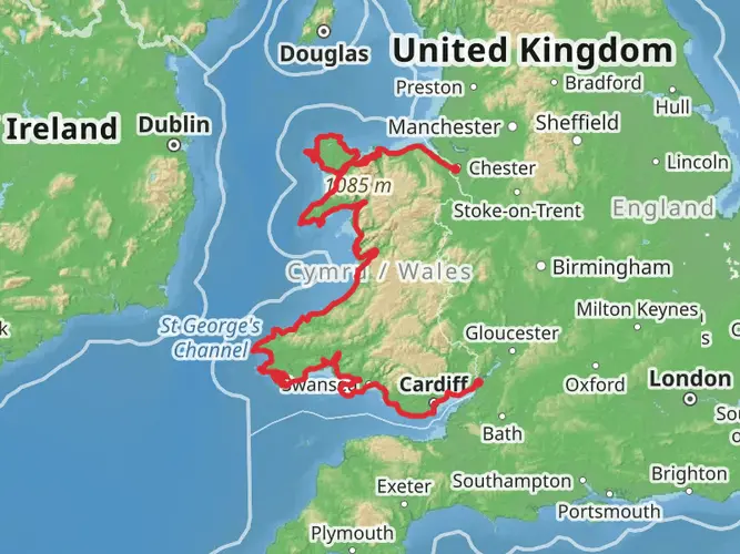
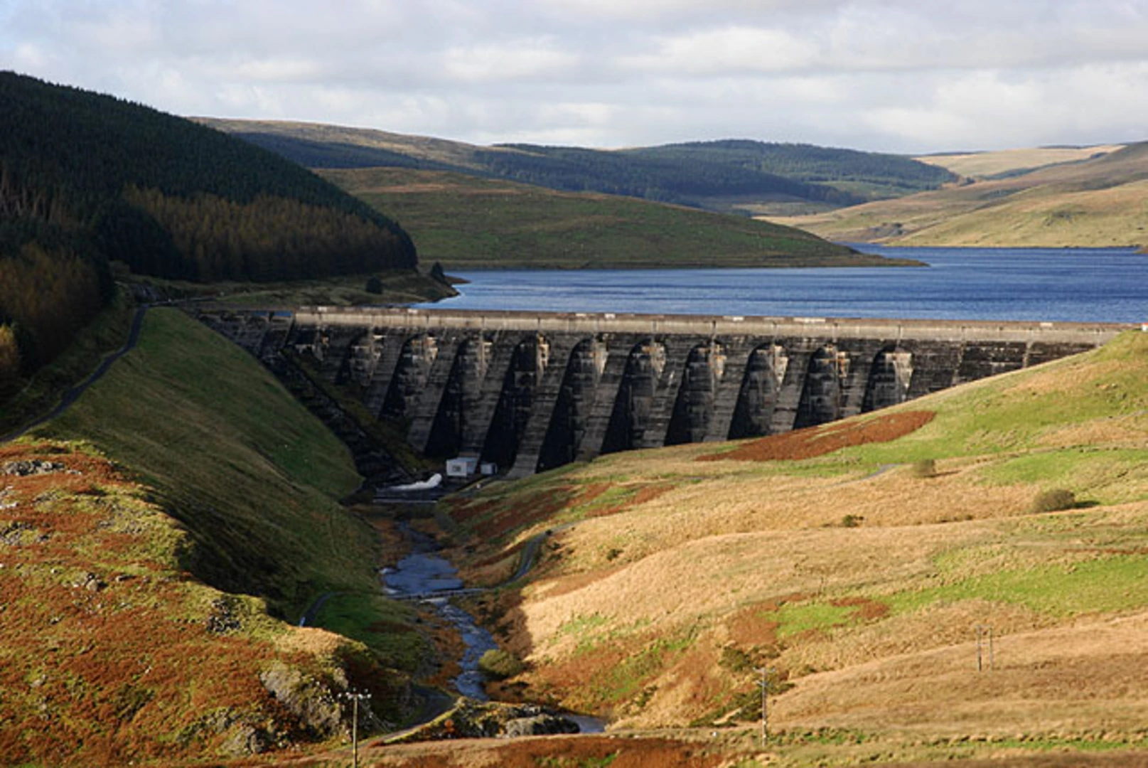
The Plynlimon and Nant-y-Moch Reservoir hike combines a major Cambrian Mountain summit area with the broad waters of Nant-y-Moch Reservoir in northern Ceredigion. Plynlimon is especially notable because the area is associated with the headwaters of the Severn, Wye, and Rheidol, giving the walk a strong sense of landscape and geography as well as wide upland views.
Where do you park for the Plynlimon and Nant-y-Moch Reservoir hike?
Parking for Plynlimon and Nant-y-Moch Reservoir is typically found on the reservoir approach roads and at informal roadside spaces near Nant-y-Moch Reservoir. The reservoir sits in a remote part of northern Ceredigion near Pumlumon, so access is usually by car and it is worth arriving prepared for limited facilities and a long drive on minor mountain roads.
Is the Plynlimon and Nant-y-Moch Reservoir hike boggy or hard to follow?
Plynlimon and Nant-y-Moch Reservoir can be wet underfoot, especially on the higher ground around Plynlimon where peat, heather, and exposed moorland are common. In poor weather the route can feel much more serious than its medium rating suggests, so waterproof footwear and confident navigation are important on this part of Ceredigion.
When is the best time of year to hike Plynlimon and Nant-y-Moch Reservoir?
Late spring through early fall is usually the best window for Plynlimon and Nant-y-Moch Reservoir, when daylight is longer and the upland ground is generally more manageable. Even in summer, the high open ground around Plynlimon can turn cold, windy, and misty very quickly, so clear-weather days give the best chance of views over the reservoir and surrounding Cambrian Mountains.
Comments and Reviews
User comments, reviews and discussions about the Plynlimon and Nant-y-Moch Reservoir, Wales.
4.64
average rating out of 5
36 rating(s)