Download
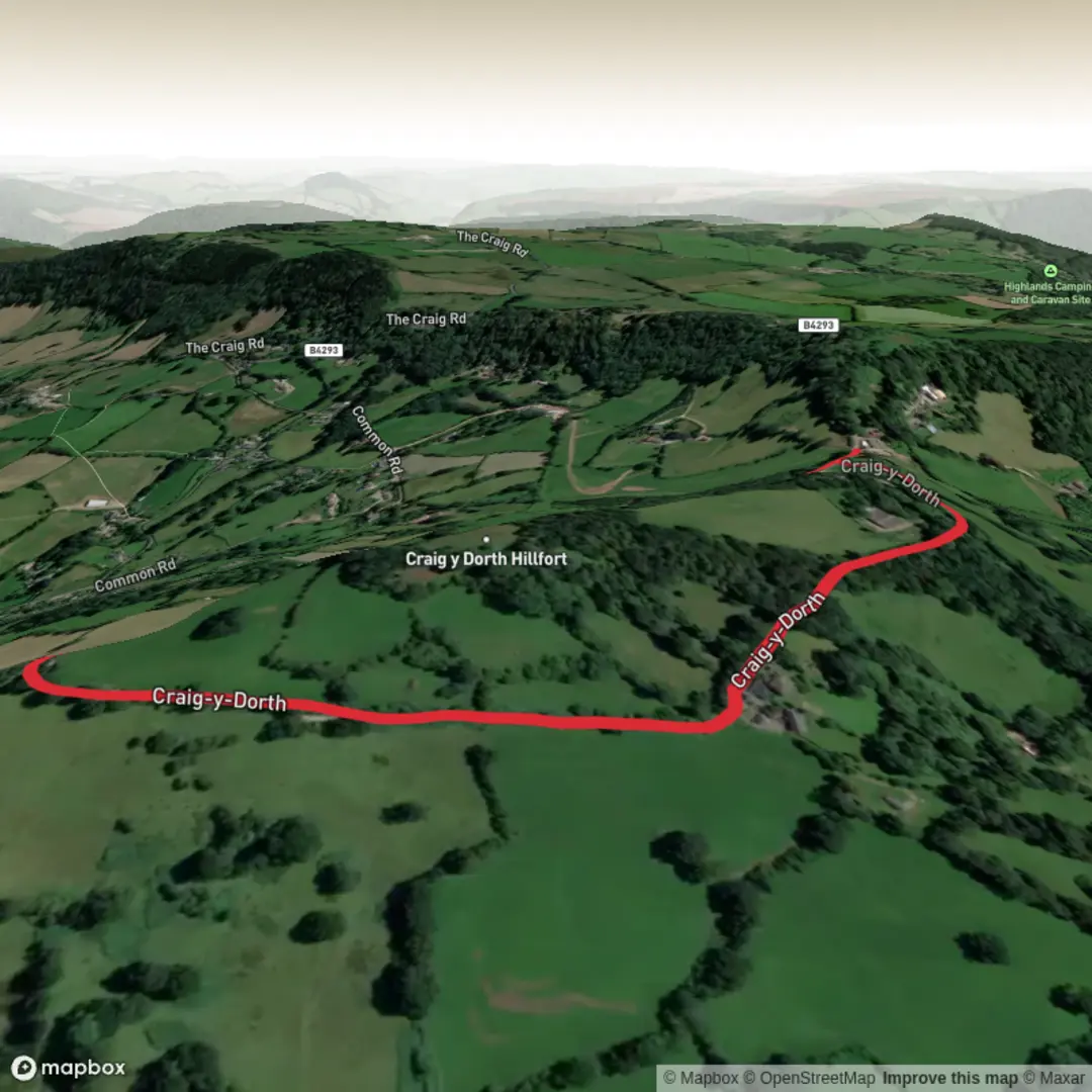
3D Flyover
Add to list
More
2.5 km
~32 min
26 m
Loop
“A gentle Wye Valley circuit with sweeping mountain views, quiet lanes, and spring-bright woodland charm.”
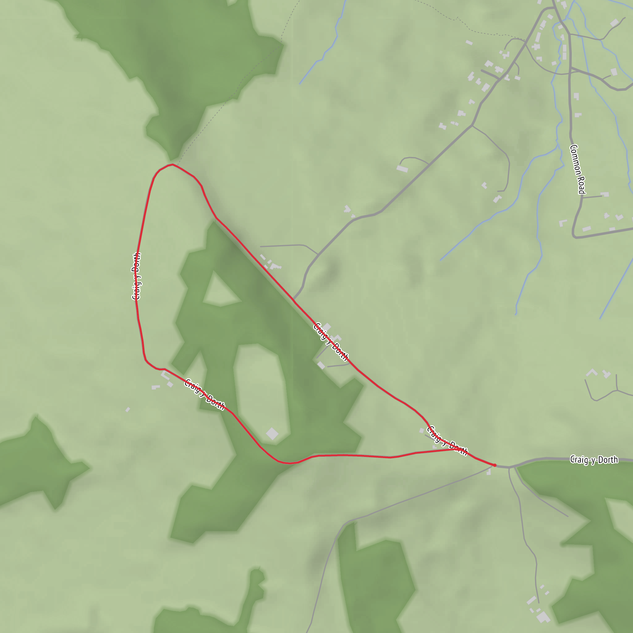
This is a short, easy-going loop of about 3 km / 1.5 miles in the Wye Valley near Trellech, following a quiet minor road around Craig-y-dorth with only gentle gradients overall. Although the listed elevation gain is around 0 metres, expect a few mild undulations rather than a perfectly flat walk, with nothing especially strenuous for most hikers. The route is known for wide-open views, easy footing on tarmac or firm lane surfaces, and a relaxed outing that suits families, casual walkers, and anyone wanting a scenic circuit without a big climb. It is also noted as suitable for pushchairs and motorised buggies. (visitmonmouthshire.com)
The start is best identified as the roadside parking area near Caer Llan / Caerllan Field Study and Conference Centre, Roadside Car Park, Caer Llan, Nr Trellech, Monmouth, Monmouthshire, NP25 4JS. Driving in, the usual approach is from Monmouth on the B4293 toward Trellech, then turning right at the crossroads signed for Craig-y-dorth; parking is limited to a small roadside area just beyond the Caer Llan driveway, so arriving early is wise on fine weekends. (visitmonmouthshire.com)
For public transport, the most practical option is to travel to Monmouth Bus Station and connect to the 65 bus toward Trellech/Chepstow, which stops in Trellech on the B4293. From there, you would need to walk onward to the start near Caer Llan. Service levels are limited rather than turn-up-and-go, so checking the current timetable before setting out is important. Monmouthshire Council directs travelers to current bus timetables and Traveline Cymru for live planning, and published timetable data shows route 65 serving Monmouth and Trellech several times a day. (monmouthshire.gov.uk)
What the walk feels like
From the parking area, the loop circles the hill on a little-used lane, so navigation is generally straightforward and more about staying aware of junctions than following rough paths. HiiKER is useful here for confirming the loop shape and keeping track of the return if visibility drops. Because much of the route is on a narrow country road, the main thing to watch for is the occasional vehicle on blind bends, even though traffic is usually light. (visitmonmouthshire.com)
The first half is all about the panorama. Views north stretch across some of the best-known uplands of southeast Wales, including the Blorenge, Sugarloaf, Skirrid, the Black Mountains, the Brecon Beacons, and the edge of Hay Bluff. Closer in, you may also pick out Dingestow, with Dingestow Court and Treowen Court in the middle distance. On a clear day, this is the kind of walk where you spend as much time looking outward as looking at your feet. (visitmonmouthshire.com)
As the loop continues around the hill, it passes the small community of Craig-y-dorth on the warmer west-facing side. The name is translated locally as “hill of the loaf,” a detail that adds a bit of character to what otherwise feels like a very peaceful rural lane. After this, the route rises steadily but gently through woodland before curving back toward the start. (visitmonmouthshire.com)
Nature, wildlife, and seasonal interest
This is a rewarding walk for anyone who enjoys edge habitats where open views, hedgerows, woodland, and rough grassland all meet. Seasonal flowers are one of the highlights: snowdrops, primroses, daffodils, wood anemones, and bluebells are all associated with the area, and the woodland section is especially attractive in spring. One bank near the crest is noted for snowdrops in January, while the later spring display can be particularly colorful. (visitmonmouthshire.com)
Across the valley, the route looks toward Croes Robert Wood, and nearby reserves such as The Wern help explain the area’s wildlife value. The Wern includes bracken slopes, open woodland, mature silver birch and yew, heathland, dry stone walls, and old quarry features. Those walls and rocky edges support lichens, mosses, ferns, invertebrates, and reptiles, including common lizards and adders. Even if your loop stays on the lane, it gives you a good sense of this mosaic landscape, so it is worth scanning sunny banks and stone boundaries carefully rather than rushing through. (gwentwildlife.org)
Because the route mixes open country and woodland edge, birdsong is often part of the
Surfaces
Unknown
Asphalt
Comments and Reviews
User comments, reviews and discussions about the Craig-y-dorth Loop, Wales.
average rating out of 5
0 rating(s)
