Search a hike or location
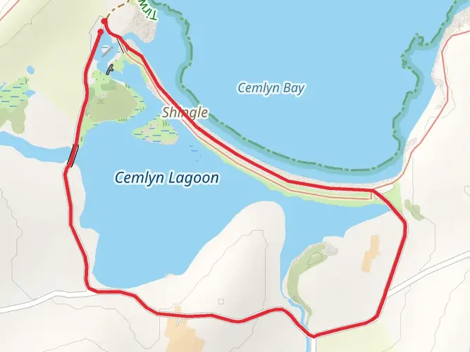
Gwynedd, Wales
Download
3D Flyover
Add to list
Complete
More
3.0 km
~36 min
0 m
Loop
Pebbles an rocks
Surfaces
Gravel
60% · 1.79km
Grass
22% · 0.68km
Unknown
11% · 0.35km
Dirt
6.5% · 0.2km
User comments, reviews and discussions about the Anglesey National Landscape - Cemlyn Bay, Wales.
star
average rating out of 5
0 rating(s)
Nearby Hikes
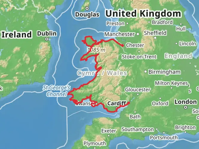
Wales Coast Path
Cheshire West and Chester, Wales
1405.6 km · 34187 m
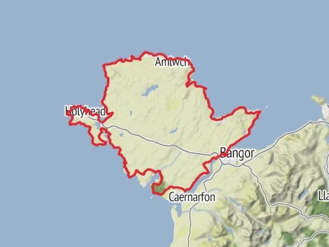
Anglesey Coastal Path
Isle of Anglesey, Wales
209.3 km · 2474 m
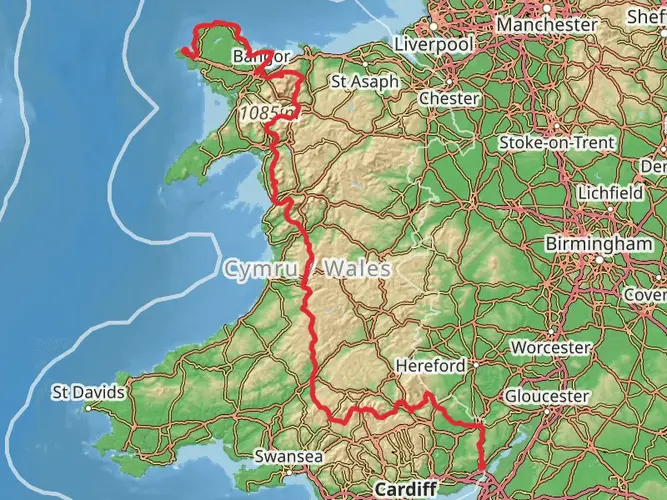
Holyhead to Chepstow Walk
566.2 km · 18288 m
Breakwater Country Park Loop
8.1 km · 400 m
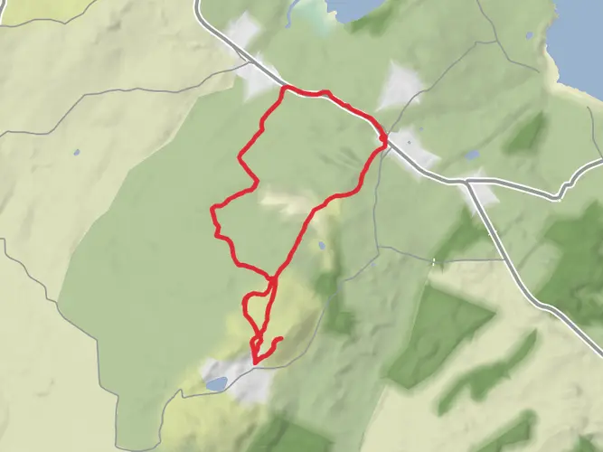
Cemlyn Bay Walk
2.6 km · 18 m
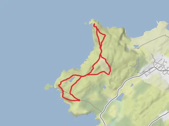
Holyhead Mountain Loop
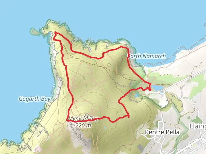
4.2 km · 290 m
Llyn Alaw Walk
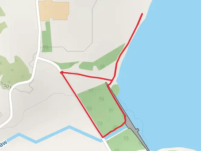
1.0 km · 12 m
Penrhos Coastal Park Walk
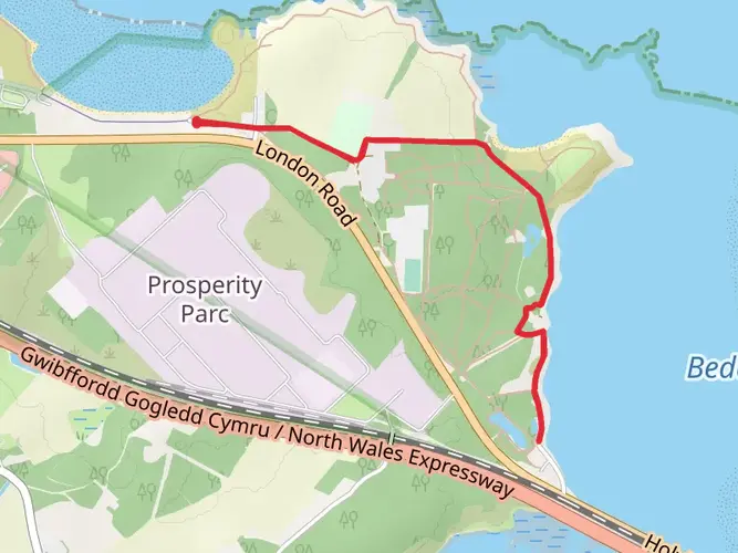
4.2 km · 42 m
South Stack Lighthouse Walk
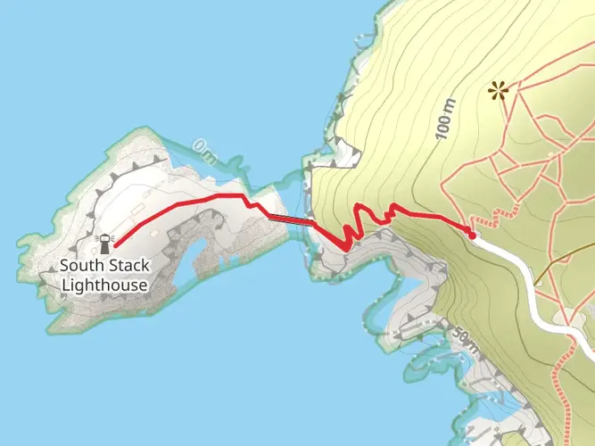
981 m · 81 m
Amlwch Walk
8.6 km · 159 m
Bull Bay Loop
8.7 km · 130 m
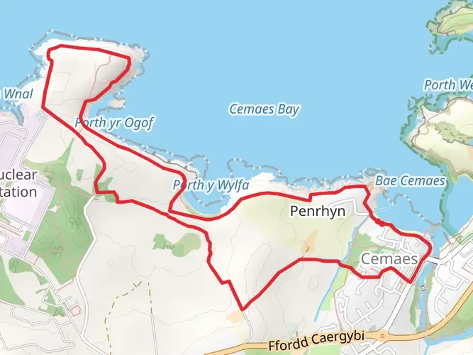
Cemaes Bay Walk
6.2 km · 93 m
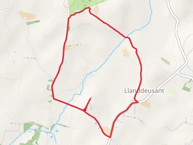
Llanddeusant Loop
4.5 km · 30 m
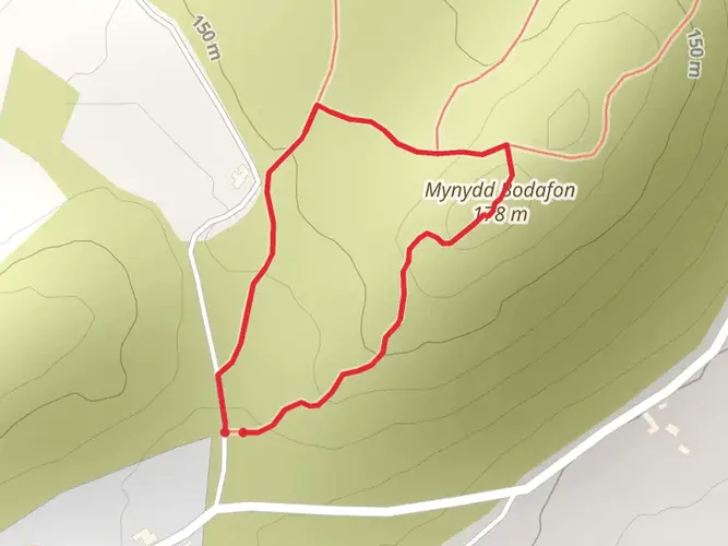
Mynydd Bodafon Loop
820 m · 29 m
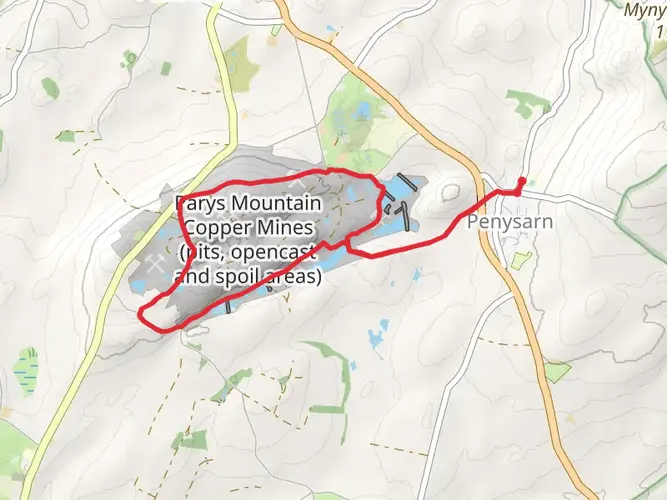
Parys Mountain Loop
7.6 km · 114 m
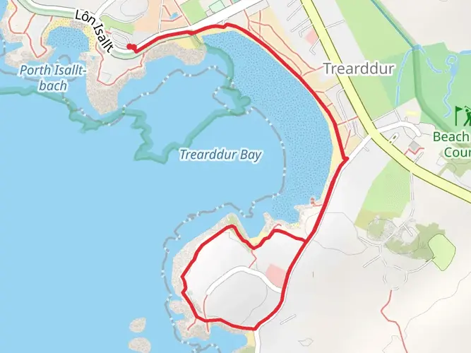
Trearddur Bay Walk
2.8 km · 24 m
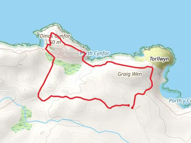
Porth Wen Brickworks Loop
4.3 km · 142 m
Hike from Brynrefail to Yr Arwydd
7.0 km · 195 m
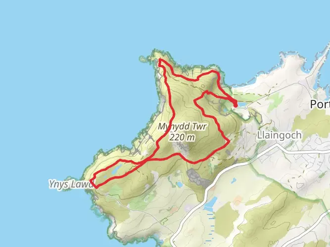
Holyhead Mountain, North Stack and South Stack Cliffs Loop
7.1 km · 341 m
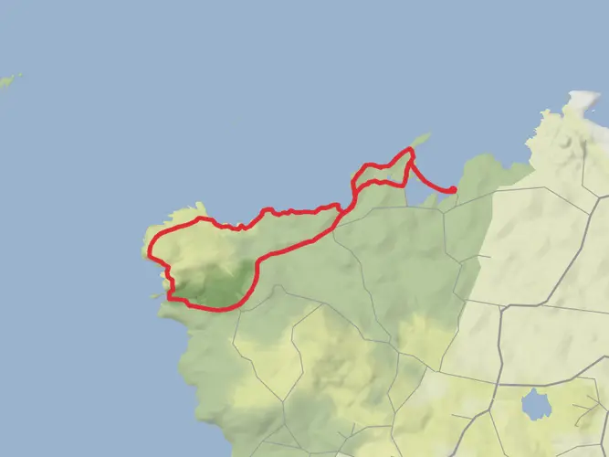
Cemlyn Bay, Porth Newydd, Llyn y Fydlyn and Cemlyn Loop
13.3 km · 167 m
Continue in App
Continue in Browser
Choose which optional cookies and similar technologies HiiKER can use on this device. Privacy & cookie policy
Sign-in, security, checkout, support chat when you open it, and remembering these choices.
Google Analytics and PostHog (our own EU-hosted analytics) — which pages are visited and how features are used, so we can improve HiiKER.
Google Ads, Meta, Reddit and X pixels and Rewardful referral tracking — they tell those platforms when someone arrives from, or buys after, one of our ads or referrals. Turning this off opts you out of the "sale" or "sharing" of your personal information for targeted advertising.