Download
3D Flyover
Add to list
More
62.5 km
~3 days
1970 m
Multi-Day
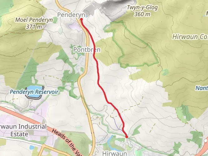
The Coed Morgannwg Way is a 62.5 km trail that starts in , Merthyr Tydfil, Wales. Based on our data, the hike is graded as Medium. For information on how we grade trails, please read measuring the difficulty of a hiking trail on hiiker. Also, check our latest community posts for trail updates. This hike can be completed in approx 3 days. Caution is advised on trail times as this depends on multiple variables. For more info read about how we calculate hike time.

What to expect?
Activity types
Frequently asked questions
How long does it take to hike the Coed Morgannwg Way?
The Coed Morgannwg Way is 62.54 km long with 1,970 m of climbing, so most hikers treat it as a 2 to 4 day route rather than a single-day walk. A strong backpacker could cover it in two long days, while a steadier pace with overnight stops makes the elevation and distance more manageable.
Where does the Coed Morgannwg Way start and finish in South Wales?
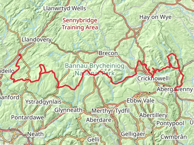
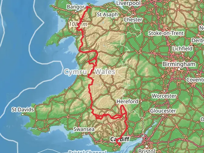
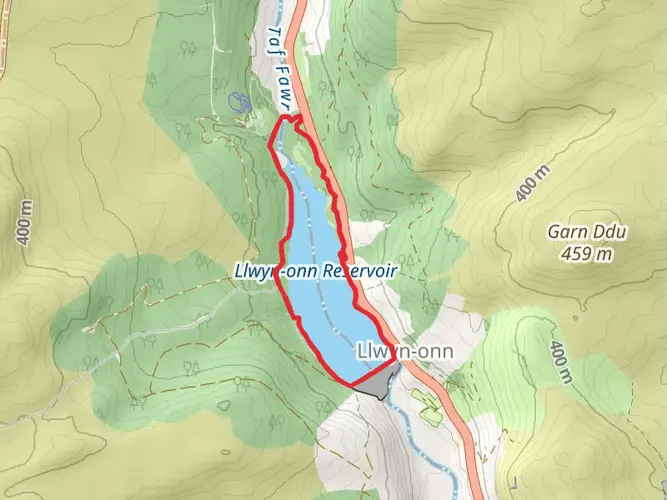
The route is generally described as linking the Merthyr Tydfil area with Afan Argoed Country Park near Margam. Published stage information places one end at Abercanaid near Merthyr Tydfil, while other route descriptions reference Gethin Woodland Park as the Merthyr end, so the exact signed start point can vary depending on the guide or direction of travel.
What kind of terrain is on the Coed Morgannwg Way?
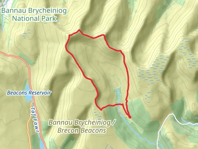
The Coed Morgannwg Way is a medium-difficulty multi-day trail that crosses upland forest and valley terrain in South Wales. Route descriptions mention the Dare Valley, Craig y Llyn, forest roads, and higher viewpoint sections, so the walk combines long woodland tracks with hillier stretches that add up to nearly 2,000 m of ascent.
Is the Coed Morgannwg Way hard to hike?
The Coed Morgannwg Way is rated medium, but the challenge comes from its 62.54 km length and 1,970 m of elevation gain rather than technical scrambling. It suits hikers comfortable with full-day mileage, repeated climbs, and changeable upland conditions across the Merthyr Tydfil and Afan forest areas.
Can the Coed Morgannwg Way be reached by public transport from Merthyr Tydfil?
Yes. Merthyr Tydfil has both a railway station and a bus station, and published route information places the northern end of the trail in or near the Merthyr area, including Abercanaid and Gethin Woodland Park. That makes it practical to begin or finish the Coed Morgannwg Way using public transport plus a short local transfer or walk to the trail.
What are the main highlights on the Coed Morgannwg Way?
Highlights commonly associated with the Coed Morgannwg Way include the upland forests of Coed Morgannwg, the Dare Valley, Craig y Llyn, and the finish toward Afan Argoed Country Park. The route is known for a mix of wooded sections and elevated viewpoints rather than a single summit objective.
Comments and Reviews
User comments, reviews and discussions about the Coed Morgannwg Way, Wales.
4.56
average rating out of 5
45 rating(s)