Download
3D Flyover
Add to list
More
86.9 km
~4 days
2175 m
Multi-Day
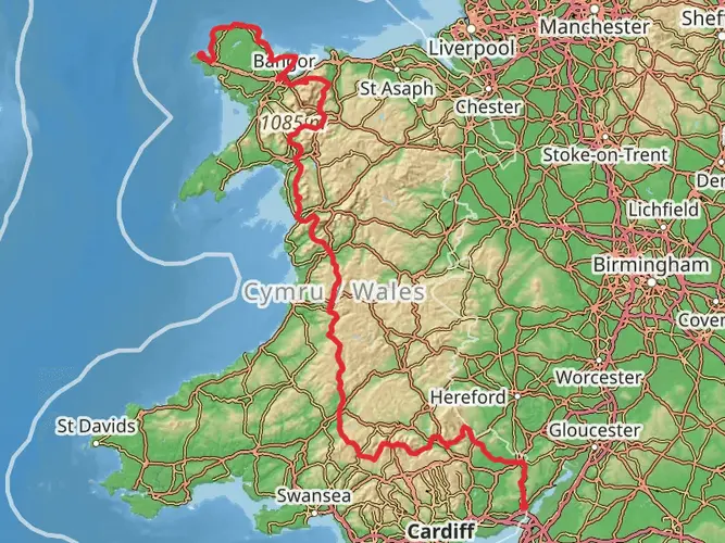
The Wysis Way is a 86.9 km trail that starts in , Monmouthshire, Wales. Based on our data, the hike is graded as Medium. For information on how we grade trails, please read measuring the difficulty of a hiking trail on hiiker. Also, check our latest community posts for trail updates. This hike can be completed in approx 4 days. Caution is advised on trail times as this depends on multiple variables. For more info read about how we calculate hike time.

What to expect?
Activity types
Frequently asked questions
How long is the Wysis Way and how many days does it usually take to walk?
The Wysis Way is 86.95 km long with 2,175 m of total ascent, so it sits firmly in the medium-difficulty range for a multi-day walk. Most walkers split it into about 4 to 6 days, depending on pace, daily mileage, and how much time is spent on the hillier sections near Monmouth before the route continues east toward Gloucester.
Where does the Wysis Way start and finish?
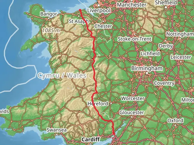
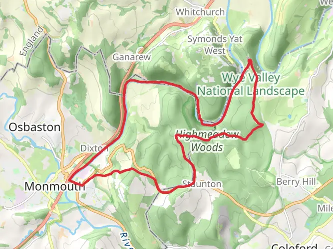
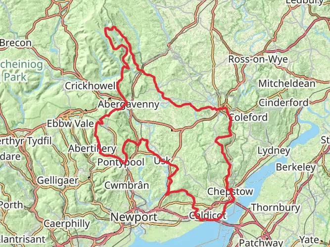
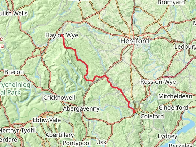
The Wysis Way starts in Monmouth, where it links with the Offa's Dyke Path near the River Wye, and it runs east to connect with the Thames Path in Gloucestershire. The route is known as a cross-country link walk, passing from Monmouth through the Forest of Dean and Severn Vale before reaching the Cotswolds side of the journey.
Is the Wysis Way a circular walk or a point-to-point trail?
The Wysis Way is a point-to-point long-distance trail rather than a loop. It begins in Monmouthshire in Wales and heads east across England, so transport planning matters more than on a circular route because the finish is not back at the starting trailhead.
Is the Wysis Way difficult?
The Wysis Way is generally rated medium difficulty. Over 86.95 km it gains 2,175 m of elevation, which means it is more demanding than a flat lowland path but usually less strenuous than a sustained mountain traverse, with the tougher effort concentrated into the climbing sections out of Monmouth and across higher ground before the route settles into lower country.
Where can you park to start the Wysis Way in Monmouth?
Monmouth has several public parking options that work for a Wysis Way start, including Maryport Street North, Jubilee Way, and Station Road car parks. Since the trail begins in Monmouth near the River Wye and Offa's Dyke Path connection, starting from a town car park is the most practical option for walkers arriving by car.
Can you use public transport to reach the Wysis Way trailhead in Monmouth?
Yes. The Wysis Way starts in Monmouth, which is served by regional road connections and local public transport links within Monmouthshire, making it one of the easier long-distance trailheads in the area to reach without parking directly on a remote hillside. Because it is a linear route, public transport is especially useful for start or finish logistics.
Are dogs allowed on the Wysis Way?
Dogs can generally be taken on the Wysis Way, but the route uses public rights of way and passes through countryside where local dog-control rules and livestock considerations apply. In Monmouthshire, dog controls are in force in some public spaces, and on rural sections of the trail dogs should be kept under close control, especially near fields, gates, and grazing land.
Comments and Reviews
User comments, reviews and discussions about the Wysis Way, Wales.
4.57
average rating out of 5
47 rating(s)