Search a hike or location
Powys, Wales
Download
3D Flyover
Add to list
Complete
More
12.6 km
~3 hrs 10 min
6 m
Out and Back
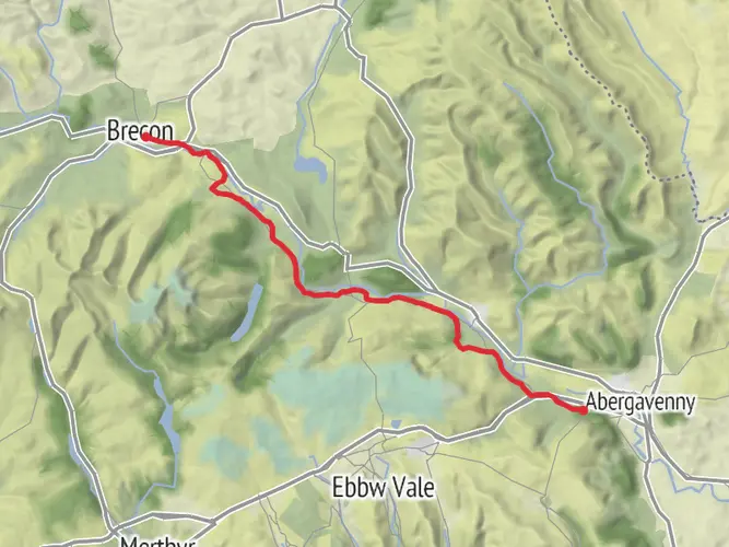
An easy saunter down the canal tow path.
What to expect?
Surfaces
Unknown
61% · 7.78km
Asphalt
39% · 5.08km
User comments, reviews and discussions about the Pencelli from CAMC Site, Wales.
star
average rating out of 5
0 rating(s)
Nearby Hikes
Brynich Lock to Talybont-on-Usk
Rhondda Cynon Taf, Wales
8.0 km · 45 m
Brecon Promenade Route
1.6 km · 14 m
Canal Basin to Brynich
6.8 km · 16 m
Usk Valley Walk
Newport, Wales
85.7 km · 1730 m
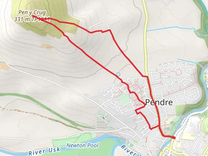
Pen-y-Crug hill fort from Brecon
5.0 km · 176 m
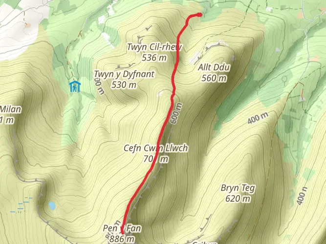
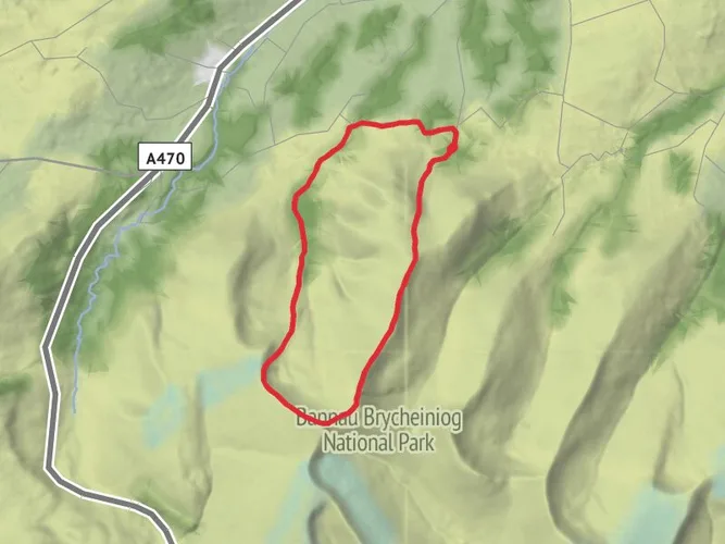
Pen y Fan from Cwmgwdi near Brecon
7.1 km · 525 m
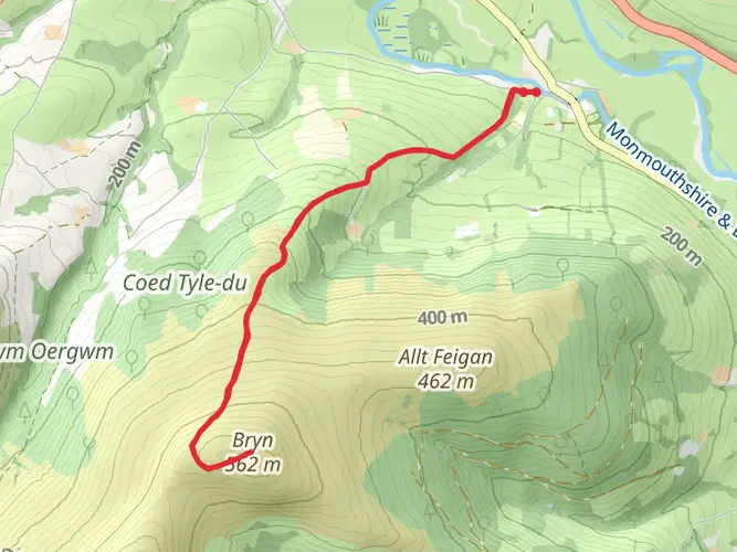
Pen y Bryn from Pencelli
8.2 km · 429 m
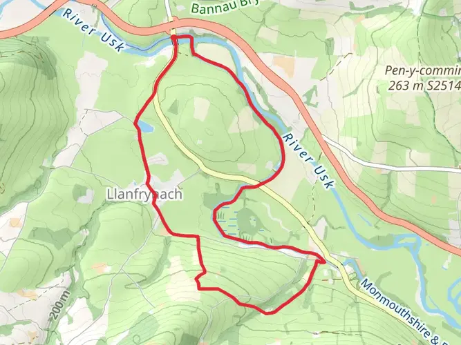
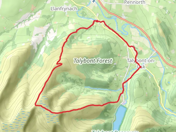
Llanfrynach and Pencelli Circular
9.0 km · 125 m
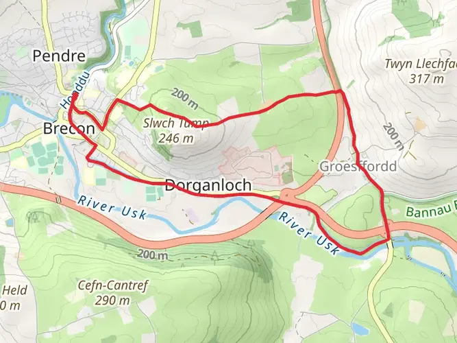
Groesfford and M and B Canal from Brecon
9.4 km · 118 m
Pen y Fan and Corn Du from Cwmgwdi
10.9 km · 668 m
Pen-y-crug - Sarnau and Battle from Brecon
16.6 km · 447 m
Highest Peaks of the Brecon Beacons
17.6 km · 797 m
Pen y Bryn and Carn Pica from Pencelli
18.0 km · 706 m
Llangors to Craswall Walk
34.1 km · 1805 m
Bristol to Brecon Walk
City of Bristol, England
147.7 km · 4475 m
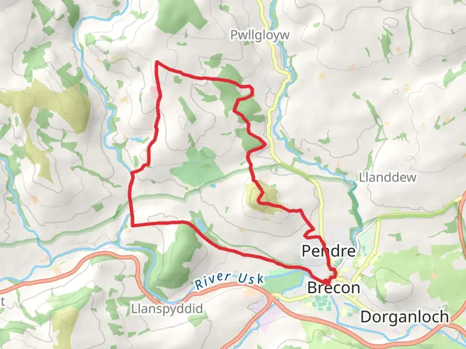
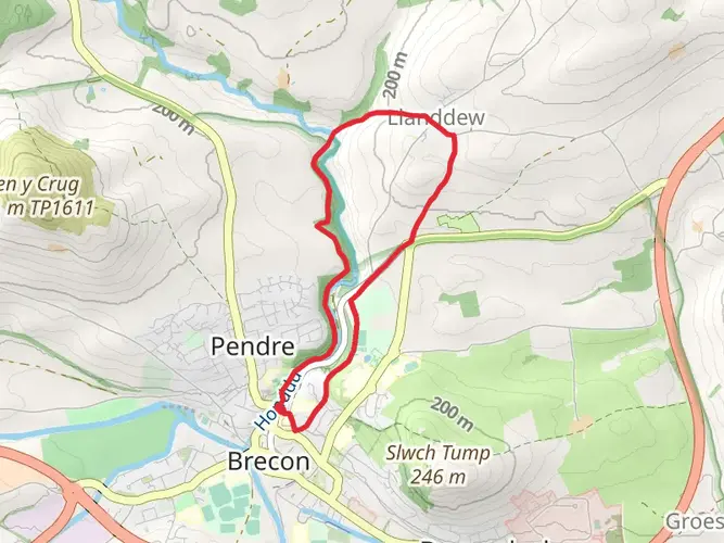
Brecon - River Honddu and Llanddew
5.8 km · 106 m
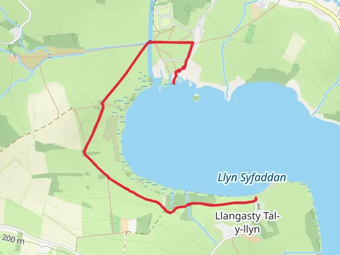
Llangorse Lake Walk
5.9 km · 37 m
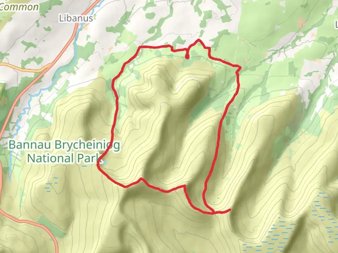
Bannau Brycheiniog National Park Loop
16.6 km · 670 m
Canoe journey Govilion to Brecon
Monmouthshire, Wales
34.1 km · 56 m
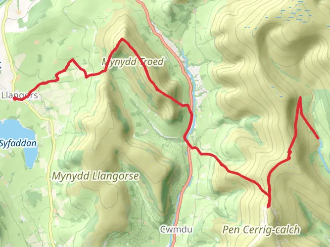
Mynydd Troed and Mynydd Llangors
22.8 km · 834 m
Continue in App
Continue in Browser
Choose which optional cookies and similar technologies HiiKER can use on this device. Privacy & cookie policy
Sign-in, security, checkout, support chat when you open it, and remembering these choices.
Google Analytics and PostHog (our own EU-hosted analytics) — which pages are visited and how features are used, so we can improve HiiKER.
Google Ads, Meta, Reddit and X pixels and Rewardful referral tracking — they tell those platforms when someone arrives from, or buys after, one of our ads or referrals. Turning this off opts you out of the "sale" or "sharing" of your personal information for targeted advertising.