Download
3D Flyover
Add to list
More
18.8 km
~6 hrs 17 min
1516 m
Point-to-Point
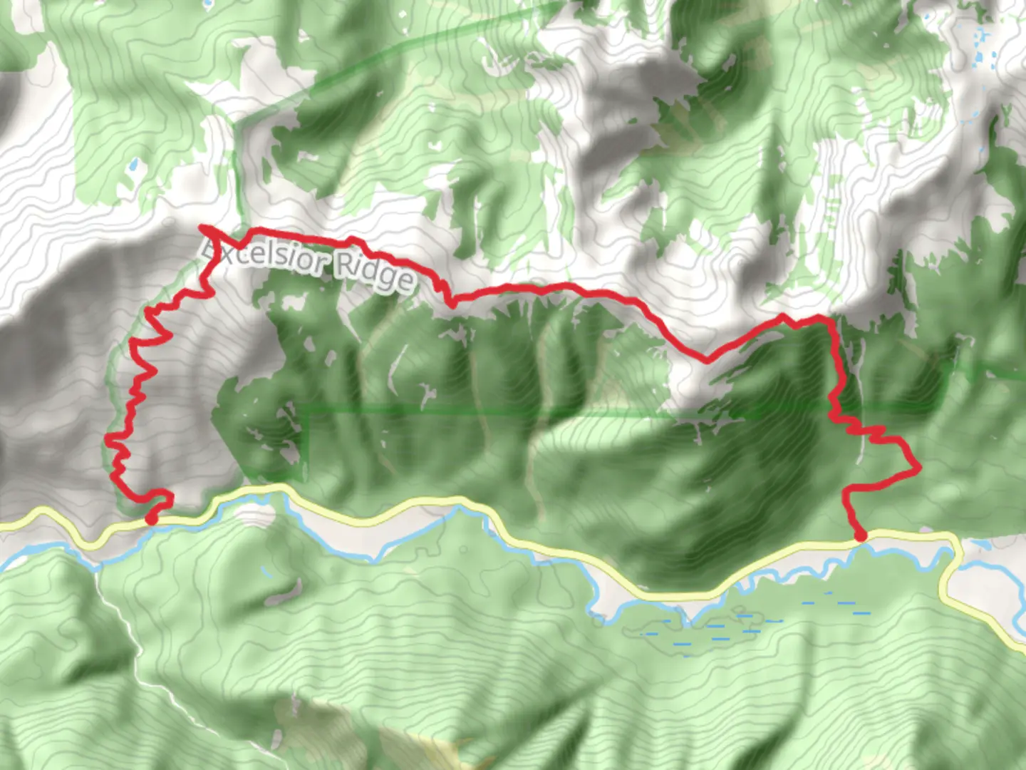
“Explore lush forests, alpine meadows, and historical landmarks on the moderately challenging 19 km High Divide Horseshoe Trail.”
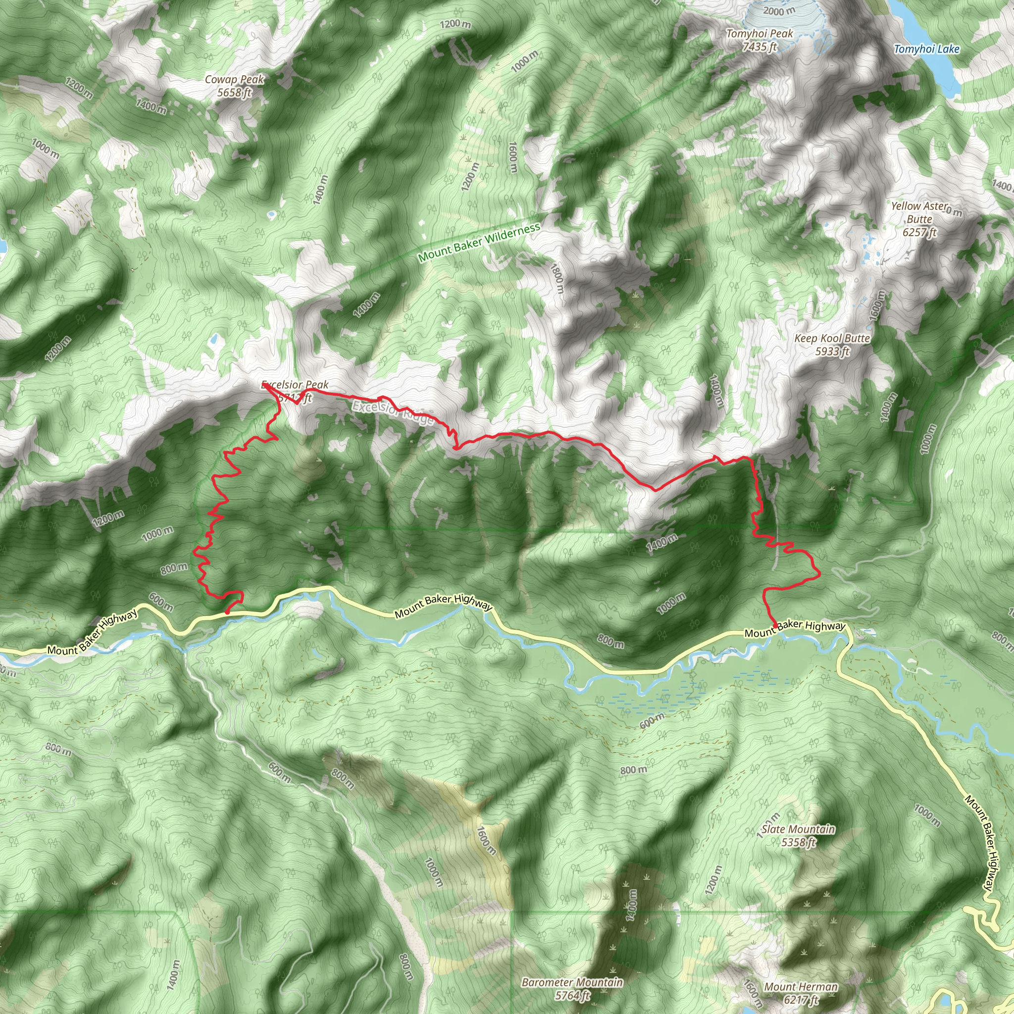
Starting near Whatcom County, Washington, the High Divide Horseshoe Trail is a point-to-point hike that spans approximately 19 km (around 12 miles) with an elevation gain of about 1500 meters (4921 feet). This trail is rated as medium difficulty, making it suitable for moderately experienced hikers.
Getting There
To reach the trailhead, you can drive or use public transport. If driving, head towards the nearest significant landmark, which is the town of Glacier, Washington. From Glacier, follow the Mount Baker Highway (WA-542) eastward until you reach the trailhead parking area. For those using public transport, the nearest bus stop is in Glacier, serviced by the Whatcom Transportation Authority (WTA). From there, you may need to arrange a taxi or rideshare to the trailhead.
Trail Overview
The trail begins with a gradual ascent through dense, old-growth forests. The first 3 km (1.9 miles) will take you through a lush canopy of Douglas firs and western hemlocks. Keep an eye out for the diverse flora and fauna, including ferns, mosses, and possibly sightings of black-tailed deer.
Significant Landmarks
Around the 5 km (3.1 miles) mark, you'll encounter the first significant viewpoint, offering panoramic vistas of the surrounding mountains and valleys. This is a great spot to take a break and hydrate. As you continue, the trail becomes steeper, gaining elevation more rapidly. By the time you reach the 8 km (5 miles) point, you'll be above the tree line, entering alpine meadows filled with wildflowers during the summer months.
Historical Significance
This region has a rich history, once inhabited by the Nooksack and Lummi Native American tribes. The area was also explored by early European settlers in the 19th century, who were drawn by the promise of gold and other natural resources. Remnants of old mining operations can still be found along the trail, adding a historical dimension to your hike.
Wildlife and Nature
As you ascend, keep an eye out for marmots and mountain goats, which are commonly seen in this area. Birdwatchers will also be delighted by the variety of species, including the Clark's nutcracker and the American dipper. The trail offers several water sources, but it's advisable to carry a water filter or purification tablets.
Navigation
Given the trail's length and elevation gain, it's crucial to have a reliable navigation tool. HiiKER is highly recommended for its detailed maps and real-time GPS tracking, ensuring you stay on course.
Final Stretch
The final 3 km (1.9 miles) of the trail involve a descent back into the forest, where the path can be slippery, especially after rain. Trekking poles can be helpful here. The trail concludes at a different point from where it started, so plan your transportation accordingly.
This hike offers a mix of natural beauty, historical intrigue, and moderate physical challenge, making it a rewarding experience for those prepared to tackle its demands.
What to expect?
Activity types
Comments and Reviews
User comments, reviews and discussions about the High Divide Horseshoe Trail, Washington.
4.5
average rating out of 5
12 rating(s)
