Download
Preview
Add to list
More
46.9 km
~3 days
567 m
Multi-Day
“Embark on the Bechler River Trail for a scenic, medium-difficulty hike through Yellowstone's diverse wilderness, waterfalls, and hot springs.”
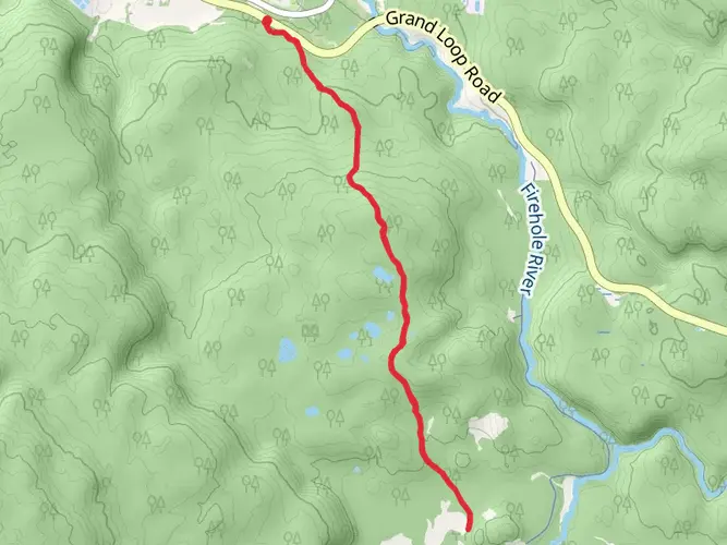
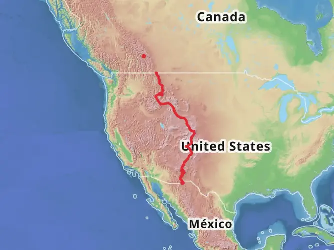
Embarking on the Bechler River Trail, you'll traverse a diverse landscape within Yellowstone National Park, starting near the southwestern boundary of Teton County, Wyoming. This point-to-point trail spans approximately 47 kilometers (29 miles) and features an elevation gain of around 500 meters (1640 feet), offering a medium difficulty rating that caters to hikers with some experience.
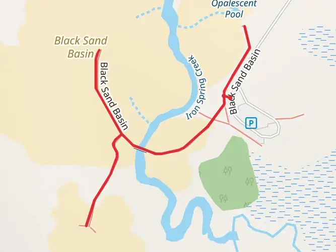
Getting to the Trailhead To reach the trailhead, you can drive to the Bechler Ranger Station via Ashton, Idaho. From Ashton, take ID-47 east for approximately 27 kilometers (17 miles) until you reach the Cave Falls Road. Follow this road for another 26 kilometers (16 miles) to the ranger station. If you're relying on public transport, options are limited, but you can get as close as Ashton via bus services and then arrange for a taxi or shuttle service to take you to the ranger station.
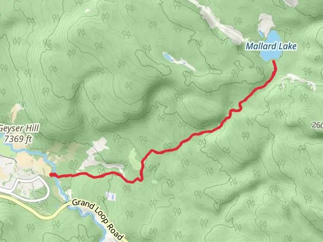
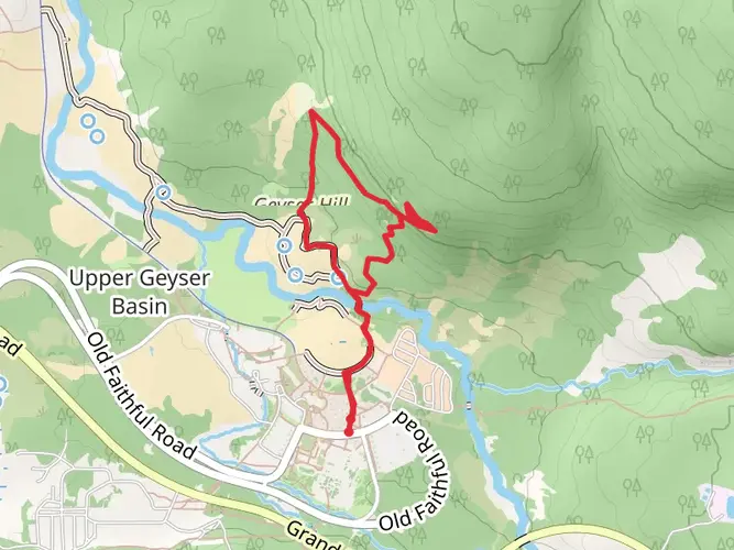
The Journey Through Bechler River Trail As you set out from the trailhead, the path meanders through a mix of dense forest and open meadows, with the Bechler River as your constant companion. The first section of the trail is relatively flat, allowing you to ease into the hike as you absorb the serene beauty of the river and the surrounding wilderness.
Waterfalls and Hot Springs One of the highlights of this trail is the abundance of waterfalls and hot springs. About 16 kilometers (10 miles) in, you'll encounter the first significant waterfall, Colonnade Falls, where the Bechler River drops in a stunning two-tiered cascade. Further along, at around the 24-kilometer (15-mile) mark, you'll find the impressive Iris Falls and then the picturesque Mr. Bubbles, a geothermal feature where you can witness the unique interaction between hot springs and the river.
Flora and Fauna The Bechler area is rich in biodiversity. As you hike, keep an eye out for the variety of plant life, from lodgepole pines to colorful wildflowers in the open meadows. Wildlife sightings may include elk, moose, and possibly even bears, so be sure to practice bear safety and carry bear spray.
Historical Significance The Bechler region is steeped in history, named after Gustavus Bechler, who was part of the Hayden Geological Survey of 1872. This survey played a crucial role in the establishment of Yellowstone as the world's first national park.
Navigation and Preparation For navigation, the HiiKER app is a reliable tool to guide you along the Bechler River Trail. It's essential to be well-prepared for this hike, as the trail can be wet and marshy, especially in the spring and early summer. Waterproof boots and insect repellent are must-haves. Additionally, be aware of the potential for river crossings, which can be challenging during high water levels.
Weather and Seasonal Considerations The best time to hike the Bechler River Trail is from late July to September when the water levels are lower, and the trails are drier. Always check the weather forecast before your hike and be prepared for sudden changes in mountain weather conditions.
Permits and Regulations A backcountry permit is required for overnight stays, which can be obtained from the Bechler Ranger Station. Remember to follow Leave No Trace principles to preserve the pristine nature of this wilderness area.
By preparing adequately and respecting the natural environment, your journey on the Bechler River Trail will be a memorable exploration of Yellowstone's lesser-known yet equally captivating landscapes.

What to expect?
Activity types
Frequently asked questions
How long is the Bechler River Trail and how many days does the Bechler River Trail take?
The Bechler River Trail is 46.86 km, or about 29.1 miles, with roughly 567 m of elevation gain. Most hikers treat it as a multi-day backpacking route and split it over 2 to 4 days, depending on campsite reservations, river conditions, and how much time is spent at waterfalls like Iris Falls and Colonnade Falls.
Where does the Bechler River Trail start and where can you park for the Bechler River Trail?
The Bechler River Trail is commonly accessed from the Bechler area of Yellowstone National Park near the Bechler Ranger Station and Cave Falls Road on the park’s southwest side. Parking is typically at the Bechler trailhead area near the ranger station, reached from Ashton, Idaho via ID-47 and Cave Falls Road.
Are dogs allowed on the Bechler River Trail in Yellowstone National Park?
Dogs are not allowed on the Bechler River Trail. Yellowstone National Park prohibits pets on hiking trails, in the backcountry, on boardwalks, and in thermal areas, so this route is not dog-friendly except for qualified service animals under park rules.
What waterfalls can you see on the Bechler River Trail?
The Bechler River Trail is known for major waterfall scenery along the Bechler River corridor. Named highlights include Iris Falls, a 45-foot waterfall, and Colonnade Falls, a two-tiered drop with upper and lower sections of about 35 feet and 67 feet, making this one of Yellowstone’s standout waterfall backpacking routes.
Is the Bechler River Trail difficult and does the Bechler River Trail have much elevation gain?
The Bechler River Trail is generally considered an easier Yellowstone backpacking route because it gains about 567 m, or 1,860 feet, over nearly 47 km. The grade is relatively moderate compared with steeper mountain routes, but the overall distance, remote setting, and potential river crossings still make it a serious multi-day hike.
When is the best time of year to hike the Bechler River Trail?
Late summer into early fall is usually the best window for the Bechler River Trail. In Yellowstone’s backcountry, later season trips generally mean drier trails, lower stream crossings, and fewer mosquitoes, while late spring and early summer can bring cold, hazardous runoff and more difficult fords in the Bechler area.
Do you need a permit to backpack the Bechler River Trail overnight?
Yes. Overnight trips on the Bechler River Trail require a Yellowstone backcountry permit because it is a multi-day route inside Yellowstone National Park. Camps must be at designated backcountry campsites, and availability can shape whether the trip is done in two nights, three nights, or longer.
Comments and Reviews
User comments, reviews and discussions about the Bechler River Trail, Wyoming.
4.44
average rating out of 5
18 rating(s)